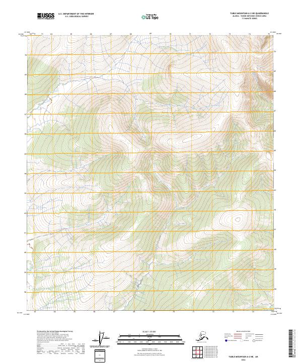
2024 Map of Table Mountain A-2 NE
USGS Topo · Published 2024About this map
The Arctic National Wildlife Refuge dominates this section of the far north, where the topography transitions into the designated Mollie Beattie Wilderness. This 2024 survey depicts a landscape defined by dramatic elevation changes and significant glacial or periglacial landforms, largely untouched by permanent human infrastructure or road networks. The only named watercourse, Billwaddy Creek, flows through the northeastern quadrant, carving through the high-altitude terrain. The map serves as a primary record of the modern boundaries for these protected lands within the Yukon-Koyukuk Census Area, illustrating the vast wilderness character that has remained preserved into the twenty-first century. For researchers, it provides a precise look at the natural drainage patterns and ridge lines that define this remote corner of Alaska.
Find a feature on this map
9 named features on this map. Tap any name to fly to it.
Don’t see what you’re looking for? This feature index may not catch every label — zoom into the map to look around manually.
Map Details
Editions of this 2024 Table Mountain A-2 NE Map
This is the sole edition of this map. No revisions or reprints were ever made.
Other maps of this area

1951 · Table Mountain
USGS Topo · 1:250,000

1956 · Table Mountain
USGS Topo · 1:250,000

1964 · Table Mountain
USGS Topo · 1:250,000
1972 · Table Mountain B-1
USGS Topo · 1:63,360
1972 · Table Mountain A-2
USGS Topo · 1:63,360
1972 · Table Mountain A-1
USGS Topo · 1:63,360
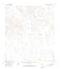
1972 · Table Mountain B-2
USGS Topo · 1:63,360
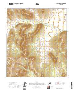
2018 · Table Mountain B-1 SW
USGS Topo · 1:25,000
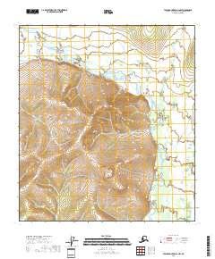
2018 · Table Mountain A-2 NW
USGS Topo · 1:25,000
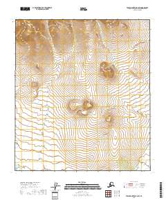
2018 · Table Mountain B-2 SW
USGS Topo · 1:25,000