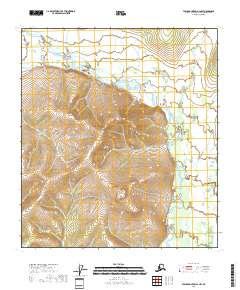
2018 Map of Table Mountain A-2 NW
USGS Topo · Published 2018About this map
The Coleen River winds through this northern landscape, defining the topography of the Yukon-Koyukuk region. This 2018 survey illustrates the complex drainage patterns of the river valley, where the water path shifts through high-latitude terrain. Along the eastern edge, the smaller tributary of Lois Cr joins the larger system, highlighting the hydrological network that dictates travel and survival in this portion of Alaska. The map is organized by the Public Land Survey System grids, including t14s r43e and t15s r44e, which provide the essential structural framework for land management and navigation in an area devoid of modern road infrastructure.
Find a feature on this map
6 named features on this map. Tap any name to fly to it.
Don’t see what you’re looking for? This feature index may not catch every label — zoom into the map to look around manually.
Map Details
Editions of this 2018 Table Mountain A-2 NW Map
This is the sole edition of this map. No revisions or reprints were ever made.
Other maps of this area

1951 · Table Mountain
USGS Topo · 1:250,000

1956 · Table Mountain
USGS Topo · 1:250,000

1964 · Table Mountain
USGS Topo · 1:250,000
1972 · Table Mountain B-3
USGS Topo · 1:63,360
1972 · Table Mountain A-2
USGS Topo · 1:63,360
1972 · Table Mountain B-2
USGS Topo · 1:63,360
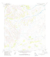
1972 · Table Mountain A-3
USGS Topo · 1:63,360
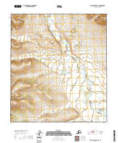
2018 · Table Mountain B-3 SE
USGS Topo · 1:25,000
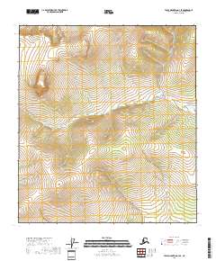
2018 · Table Mountain A-3 SE
USGS Topo · 1:25,000
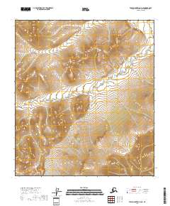
2018 · Table Mountain A-3 NE
USGS Topo · 1:25,000