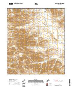
2018 Map of Table Mountain C-2 NW
USGS Topo · Published 2018About this map
The high-latitude landscape of the North Slope Borough is defined here by the systematic grid of the Public Land Survey System, specifically across T8s R42e, T8s R43e, and T9s R43e. This 2018 survey documents a region dominated by complex topographic contours and drainage patterns, absent of named settlements, roads, or industrial infrastructure. The land is organized into standard sections that span portions of the Brooks Range foothills, with the township lines of T9s R42e and T9s R44e marking the boundaries of this specific quadrangle. For the researcher or geographer, the map provides a precise record of the physical terrain in one of the most northern reaches of the United States, illustrating the natural watercourses and elevation changes before any human development took hold.
Find a feature on this map
5 named features on this map. Tap any name to fly to it.
Don’t see what you’re looking for? This feature index may not catch every label — zoom into the map to look around manually.
Map Details
Editions of this 2018 Table Mountain C-2 NW Map
This is the sole edition of this map. No revisions or reprints were ever made.
Other maps of this area

1951 · Table Mountain
USGS Topo · 1:250,000

1956 · Table Mountain
USGS Topo · 1:250,000

1964 · Table Mountain
USGS Topo · 1:250,000

1983 · Table Mountain D-2
USGS Topo · 1:63,360
1983 · Table Mountain D-3
USGS Topo · 1:63,360
1983 · Table Mountain C-3
USGS Topo · 1:63,360
1983 · Table Mountain C-2
USGS Topo · 1:63,360
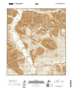
2018 · Table Mountain C-3 SE
USGS Topo · 1:25,000
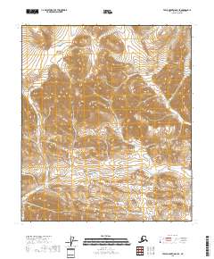
2018 · Table Mountain D-3 SE
USGS Topo · 1:25,000
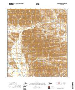
2018 · Table Mountain C-3 NE
USGS Topo · 1:25,000