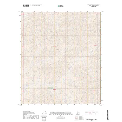
2023 Map of Table Mountain D-1 SE
USGS Topo · Published 2023About this map
Arctic National Wildlife Refuge encompasses this corner of the Brooks Range, featuring a landscape defined by sharp elevation changes and high-latitude drainage systems. The Mollie Beattie Wilderness occupies the southwestern portion of the map, protecting a vast reach of tundra and peaks that remain largely untouched by infrastructure. Waterways like Boulevard Creek and Trail Creek cut through the terrain, illustrating the natural drainage patterns toward the north. Situated along the eastern boundary of the United States of America, the topography here represents the extreme edge of the North Slope, where the land transitions toward the international border. The absence of roads or settlements emphasizes the remote, protected status of this arctic environment.
Find a feature on this map
14 named features on this map. Tap any name to fly to it.
Don’t see what you’re looking for? This feature index may not catch every label — zoom into the map to look around manually.
Map Details
Editions of this 2023 Table Mountain D-1 SE Map
This is the sole edition of this map. No revisions or reprints were ever made.
Other maps of this area

1951 · Table Mountain
USGS Topo · 1:250,000

1956 · Table Mountain
USGS Topo · 1:250,000

1964 · Table Mountain
USGS Topo · 1:250,000

1983 · Table Mountain D-1
USGS Topo · 1:63,360
1983 · Table Mountain C-1
USGS Topo · 1:63,360
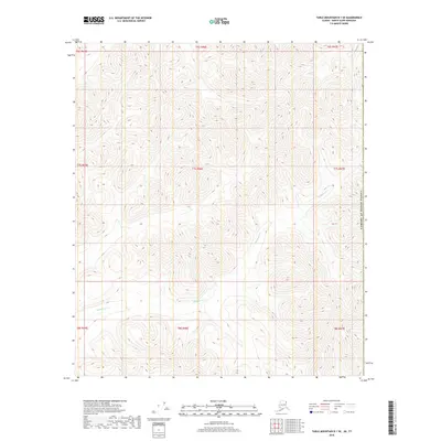
2018 · Table Mountain D-1 SE
USGS Topo · 1:25,000
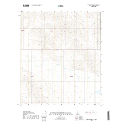
2018 · Table Mountain C-1 NE
USGS Topo · 1:25,000
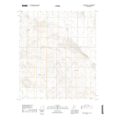
2018 · Table Mountain C-1 NW
USGS Topo · 1:25,000
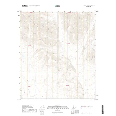
2018 · Table Mountain D-1 SW
USGS Topo · 1:25,000
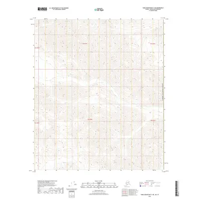
2018 · Table Mountain D-1 NE
USGS Topo · 1:25,000