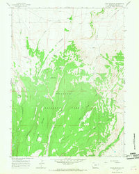
1964 Map of Table Mountain
USGS Topo · Published 1968About this map
Wasatch National Forest defines the southern portion of this high-altitude Wyoming landscape, where the Utah State Line marks the southern limit of Uinta County. The terrain is characterized by massive landforms like Table Mountain and Hickey Mountain, which rise between deep drainage networks. Hydrology is a central theme, with named water sources such as Big Spring and Whiskey Spring providing essential water in an area carved by Sage Creek and Cottonwood Creek. A small Landing Strip and various Jeep Trails represent the minimal infrastructure of this 1960s wilderness. To the north, the glacial geology of Leavitt Drift transition into cattle-grazing country, while the Gaging Sta along Henrys Fork indicates the vital importance of monitoring water flow in this high-desert environment.
Find a feature on this map
17 named features on this map. Tap any name to fly to it.
Don’t see what you’re looking for? This feature index may not catch every label — zoom into the map to look around manually.
Map Details
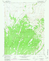
Editions of this 1964 Table Mountain Map
2 editions found
Other maps of this area

1885 · Uinta
USGS Topo · 1:250,000

1905 · Gilbert Peak
USGS Topo · 1:125,000

1906 · Gilbert Peak
USGS Topo · 1:125,000

1954 · Salt Lake City
USGS Topo · 1:250,000

1954 · Ogden
USGS Topo · 1:250,000

1958 · Ogden
USGS Topo · 1:250,000

1958 · Salt Lake City
USGS Topo · 1:250,000

1960 · Ogden
USGS Topo · 1:250,000

1960 · Salt Lake City
USGS Topo · 1:250,000

1964 · Reed Reservoir
USGS Topo · 1:24,000