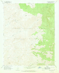
1967 Map of Table Mountain
USGS Topo · Published 1968About this map
Mazatzal Mountains topography defines this 1967 survey, where high summits like Table Mountain and Davenport Peak overlook a complex network of drainage basins. The landscape is characterized by its high-altitude springs, including Willow Spring and Maverick Spring, which feed into steep creek systems such as Sycamore Creek and the long course of Deadman Creek.
Find a feature on this map
20 named features on this map. Tap any name to fly to it.
Don’t see what you’re looking for? This feature index may not catch every label — zoom into the map to look around manually.
Map Details
Editions of this 1967 Table Mountain Map
2 editions found
Other maps of this area

1887 · Verde
USGS Topo · 1:250,000

1892 · Verde
USGS Topo · 1:250,000

1907 · Roosevelt
USGS Topo · 1:125,000

1909 · Four Peaks
USGS Topo · 1:125,000

1912 · Roosevelt
USGS Topo · 1:125,000

1929 · Turret Peak
USGS Topo · 1:125,000

1930 · Cave Creek
USGS Topo · 1:125,000

1933 · Turret Peak
USGS Topo · 1:125,000

1936 · Payson
USGS Topo · 1:48,000

1939 · Cave Creek
USGS Topo · 1:125,000