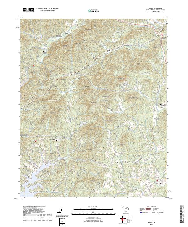
2024 Map of Table Rock
USGS Topo · Published 2024About this map
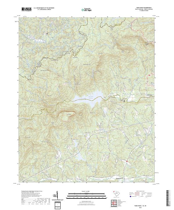
Table Rock State Park anchors this South Carolina landscape, where the dramatic granite outcroppings of Table Rock and the Stool overlook the headwaters of the South Saluda River. The terrain is defined by the Tennessee Valley Divide and the Blue Ridge escarpment, a geographical boundary where the state line meets the shared border of Transylvania and Greenville counties. Local history is preserved in family and community landmarks like Big Hill Cemetery and Lynch Cemetery, while the small settlement of Pumpkintown sits in the lower valley near the Oolenoy River. The northern portion of the map features notable natural landmarks including Caesars Head Mountain and Raven Cliff Falls, alongside the protected waters of the Table Rock Reservoir. This survey provides a clear view of how modern infrastructure like Cisson Ridge Road and Lakemont Road winds through the historic coves and gaps of the Upstate.
Find a feature on this map
152 named features on this map. Tap any name to fly to it.
Don’t see what you’re looking for? This feature index may not catch every label — zoom into the map to look around manually.
Map Details
Editions of this 2024 Table Rock Map
This is the sole edition of this map. No revisions or reprints were ever made.
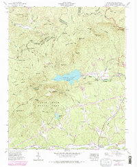
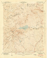
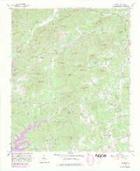
Historical Maps of Pumpkintown Through Time
6 maps found