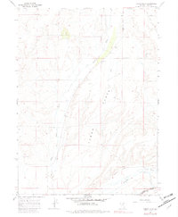
1967 Map of Tabor Flats
USGS Topo · Published 1982About this map
Tabor Flats defines this portion of the high desert in Elko County, where the infrastructure of ranching and transcontinental transport converges. The landscape is marked by essential water sources for cattle and transit, including West Tabor Well, Dahl Well, and Spratling Well, which sustained life in an arid environment. Near the southern edge of the sheet, the Humboldt River receives flows from Bishop Creek and Trout Creek, creating a critical corridor for both natural drainage and human industry.
Find a feature on this map
16 named features on this map. Tap any name to fly to it.
Don’t see what you’re looking for? This feature index may not catch every label — zoom into the map to look around manually.
Map Details
Editions of this 1967 Tabor Flats Map
2 editions found
Other maps of this area

1955 · Wells
USGS Topo · 1:250,000

1958 · Wells
USGS Topo · 1:250,000

1961 · Wells
USGS Topo · 1:250,000

1967 · Black Butte SW
USGS Topo · 1:24,000

1967 · Black Butte
USGS Topo · 1:24,000

1967 · Hot Springs Creek
USGS Topo · 1:24,000

1967 · Welcome
USGS Topo · 1:24,000

1967 · Twin Buttes
USGS Topo · 1:24,000

1967 · Herder Creek
USGS Topo · 1:24,000
1967 · Deeth
USGS Topo · 1:24,000