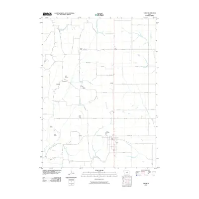
2010 Map of Tabor
USGS Topo · Published 2010About this map
The settlement of Tabor serves as the primary hub on this Fremont County map, where the local street grid centers around the Tabor Post Office. The surrounding landscape is defined by its deep agricultural and educational roots, evidenced by several small district schoolhouses distributed across the townships, including Elm Grove School, Pleasant Ridge School, and Four Corners School. This distribution of rural institutions reflects the traditional community structure of Southwest Iowa during the early 21st century.
Find a feature on this map
55 named features on this map. Tap any name to fly to it.
Don’t see what you’re looking for? This feature index may not catch every label — zoom into the map to look around manually.
Map Details
Editions of this 2010 Tabor Map
This is the sole edition of this map. No revisions or reprints were ever made.
Other maps of this area

1935 · Nehawka
USGS Topo · 1:48,000

1940 · Nehawka
USGS Topo · 1:62,500

1954 · Omaha
USGS Topo · 1:250,000

1955 · Nebraska City
USGS Topo · 1:250,000

1956 · Glenwood
USGS Topo · 1:24,000

1956 · Rock Bluff
USGS Topo · 1:24,000

1956 · Pacific Junction
USGS Topo · 1:24,000

1956 · Malvern
USGS Topo · 1:24,000

1957 · Nebraska City
USGS Topo · 1:250,000

1957 · Omaha
USGS Topo · 1:250,000