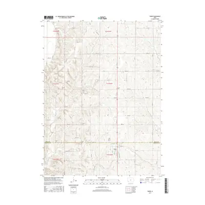
2015 Map of Tabor
USGS Topo · Published 2015About this map
The town of Tabor straddles the county line between Mills and Fremont, serving as a focal point for this rural Iowa landscape. The topography is defined by the drainage basins of several waterways, including Waubonsie Cr and Mule Cr, which carve through the land in a series of loess hills and valleys. This agricultural district is densely marked by local burial sites, indicating a long-settled community with deep genealogical roots.
Find a feature on this map
75 named features on this map. Tap any name to fly to it.
Don’t see what you’re looking for? This feature index may not catch every label — zoom into the map to look around manually.
Map Details
Editions of this 2015 Tabor Map
This is the sole edition of this map. No revisions or reprints were ever made.
Other maps of this area

1935 · Nehawka
USGS Topo · 1:48,000

1940 · Nehawka
USGS Topo · 1:62,500

1954 · Omaha
USGS Topo · 1:250,000

1955 · Nebraska City
USGS Topo · 1:250,000

1956 · Glenwood
USGS Topo · 1:24,000

1956 · Rock Bluff
USGS Topo · 1:24,000

1956 · Pacific Junction
USGS Topo · 1:24,000

1956 · Malvern
USGS Topo · 1:24,000

1957 · Nebraska City
USGS Topo · 1:250,000

1957 · Omaha
USGS Topo · 1:250,000