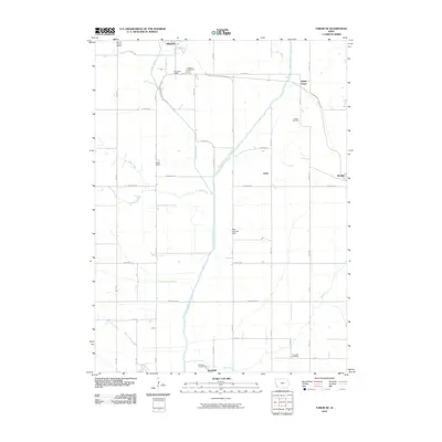
2010 Map of Tabor NE
USGS Topo · Published 2010About this map
Malvern and Randolph anchor the agricultural landscape of Mills and Fremont Counties in this 2010 survey, connected by the winding course of the West Nishnabotna River. The map captures a rural Iowa tradition of community-centered landmarks, preserving the locations of several historic education sites including the Mount Vernon School, Foxworthy School, and Barrett School. These small schoolhouses, though likely repurposed or removed by the early 21st century, remain vital for genealogical research and local history documentation.
Find a feature on this map
50 named features on this map. Tap any name to fly to it.
Don’t see what you’re looking for? This feature index may not catch every label — zoom into the map to look around manually.
Map Details
Editions of this 2010 Tabor NE Map
This is the sole edition of this map. No revisions or reprints were ever made.
Other maps of this area

1954 · Omaha
USGS Topo · 1:250,000

1955 · Nebraska City
USGS Topo · 1:250,000

1956 · Glenwood
USGS Topo · 1:24,000

1956 · Malvern
USGS Topo · 1:24,000

1957 · Nebraska City
USGS Topo · 1:250,000

1957 · Omaha
USGS Topo · 1:250,000

1957 · Randolph
USGS Topo · 1:24,000

1957 · Tabor
USGS Topo · 1:24,000

1957 · Tabor NE
USGS Topo · 1:24,000

1957 · Tabor SW
USGS Topo · 1:24,000