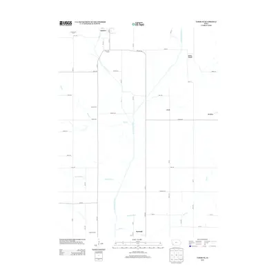
2013 Map of Tabor NE
USGS Topo · Published 2013About this map
The W Nishnabotna River serves as the central corridor for this Southwest Iowa landscape, where agricultural drainage and seasonal waterways dictate the layout of the land. In this rural stretch of Mills County, the river is flanked by tributary systems including Silver Creek and Mule Creek, while man-made interventions like the Kilpatrick Ditch modify the natural flow for prairie farming. Small crossroads and community centers like White Cloud, Clark, and Strahan dot the periphery of the river valley, while larger operations such as the Gregory Feedlots indicate the region's intense focus on livestock production. Local education history is preserved through the locations of the Mount Vernon School, Foxworthy School, and Barrett School, which are spaced across the township grid. These structures, along with the proximity to Malvern and Randolph, illustrate the enduring rural settlement pattern of the early twenty-first century.
Find a feature on this map
54 named features on this map. Tap any name to fly to it.
Don’t see what you’re looking for? This feature index may not catch every label — zoom into the map to look around manually.
Map Details
Editions of this 2013 Tabor NE Map
This is the sole edition of this map. No revisions or reprints were ever made.
Other maps of this area

1954 · Omaha
USGS Topo · 1:250,000

1955 · Nebraska City
USGS Topo · 1:250,000

1956 · Glenwood
USGS Topo · 1:24,000

1956 · Malvern
USGS Topo · 1:24,000

1957 · Nebraska City
USGS Topo · 1:250,000

1957 · Omaha
USGS Topo · 1:250,000

1957 · Randolph
USGS Topo · 1:24,000

1957 · Tabor
USGS Topo · 1:24,000

1957 · Tabor NE
USGS Topo · 1:24,000

1957 · Tabor SW
USGS Topo · 1:24,000