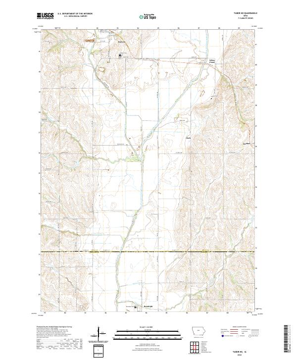
2022 Map of Tabor NE
USGS Topo · Published 2022About this map
The West Nishnabotna River serves as the central geographic axis of this Mills County landscape, cutting a path through the rich agricultural terrain between Malvern and Randolph. This contemporary survey illustrates the transformation of the region's historic rail infrastructure, specifically along the Wabash Trace Nature Trl, which follows a retired rail corridor through the settlements of White Cloud and Malvern. The map provides a detailed view of the small-town and rural network of Mills Co and Fremont Co, including the distinct locales of Clark and Strahan. Genealogists and local historians will find significant value in the clear documentation of several burial sites, such as Parker Cem, Malvern Cem, and Randolph Cem. The drainage patterns, including Kilpatrick Ditch and Silver Creek, reflect the long-standing land management practices necessary to support this productive corner of southwest Iowa.
Find a feature on this map
42 named features on this map. Tap any name to fly to it.
Don’t see what you’re looking for? This feature index may not catch every label — zoom into the map to look around manually.
Map Details
Editions of this 2022 Tabor NE Map
This is the sole edition of this map. No revisions or reprints were ever made.
Other maps of this area

1954 · Omaha
USGS Topo · 1:250,000

1955 · Nebraska City
USGS Topo · 1:250,000

1956 · Glenwood
USGS Topo · 1:24,000

1956 · Malvern
USGS Topo · 1:24,000

1957 · Nebraska City
USGS Topo · 1:250,000

1957 · Omaha
USGS Topo · 1:250,000

1957 · Randolph
USGS Topo · 1:24,000

1957 · Tabor
USGS Topo · 1:24,000

1957 · Tabor NE
USGS Topo · 1:24,000

1957 · Tabor SW
USGS Topo · 1:24,000