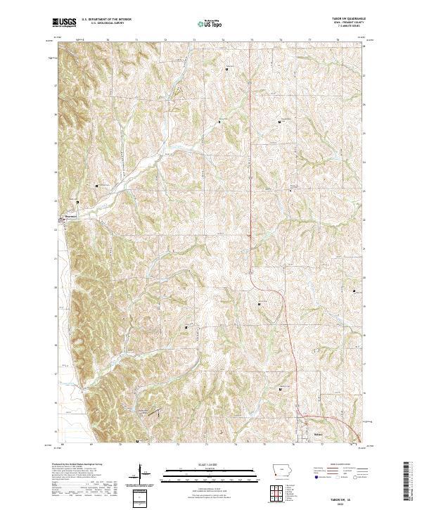
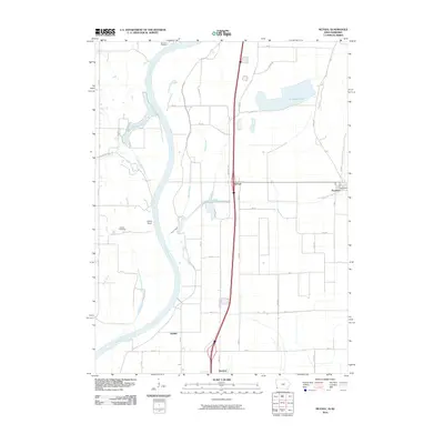
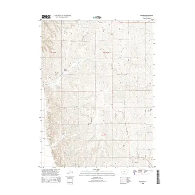
2022 Map of Tabor SW
USGS Topo · Published 2022About this map
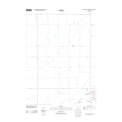
Thurman and the western edge of Sidney bookend a landscape defined by the deep incisions of Dutch Hollow and Green Hollow. This 2022 survey reveals a complex network of rural burial grounds that preserve the lineage of Fremont County, including the Dawsonburg Cem, Ross Cem, and Penny Cem. The drainage patterns of Plum Creek and Perkins Cr dictate the placement of local thoroughfares like Plum Creek Rd and Co Rd J22. The map also identifies the Loess Hills Landing, situated south of Possum Ditch, highlighting the unique geomorphology of the region. This modern topographic record is particularly valuable for its precise documentation of smaller family landmarks like the Ewell Cem and Parsley Cem, which often represent the only surviving indicators of earlier homesteads.
Find a feature on this map
57 named features on this map. Tap any name to fly to it.
Don’t see what you’re looking for? This feature index may not catch every label — zoom into the map to look around manually.
Map Details
Editions of this 2022 Tabor SW Map
This is the sole edition of this map. No revisions or reprints were ever made.
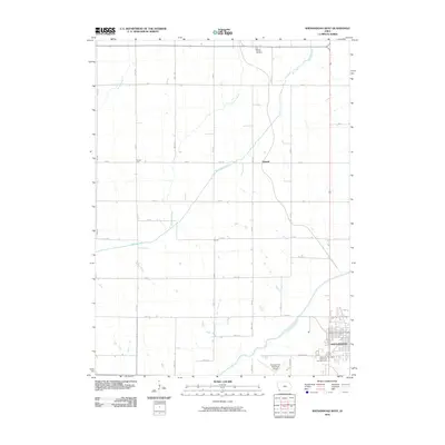
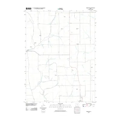
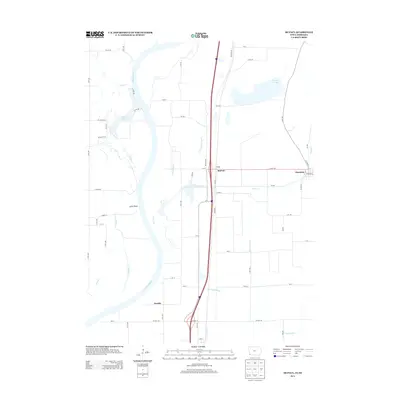
Historical Maps of Sidney Through Time
18 maps found
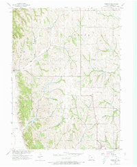
1957 Tabor SW
Fremont County, IA
1966 Mc Paul
Fremont County, IA
1978 Shenandoah West
Fremont County, IA
2010 McPaul
Fremont County, IA
2010 Shenandoah West
Fremont County, IA
2010 Tabor SW
Fremont County, IA
2013 McPaul
Fremont County, IA
2013 Shenandoah West
Fremont County, IA
2013 Tabor SW
Fremont County, IA
2015 McPaul
Fremont County, IA
2015 Shenandoah West
Fremont County, IA
2015 Tabor SW
Fremont County, IA
2018 McPaul
Fremont County, IA
2018 Shenandoah West
Fremont County, IA
2018 Tabor SW
Fremont County, IA
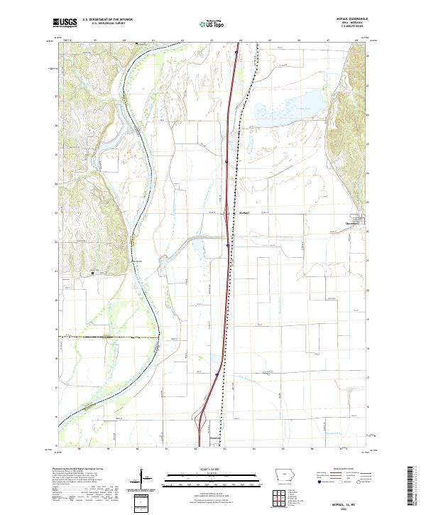
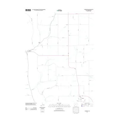
2022 McPaul
Fremont County, IA
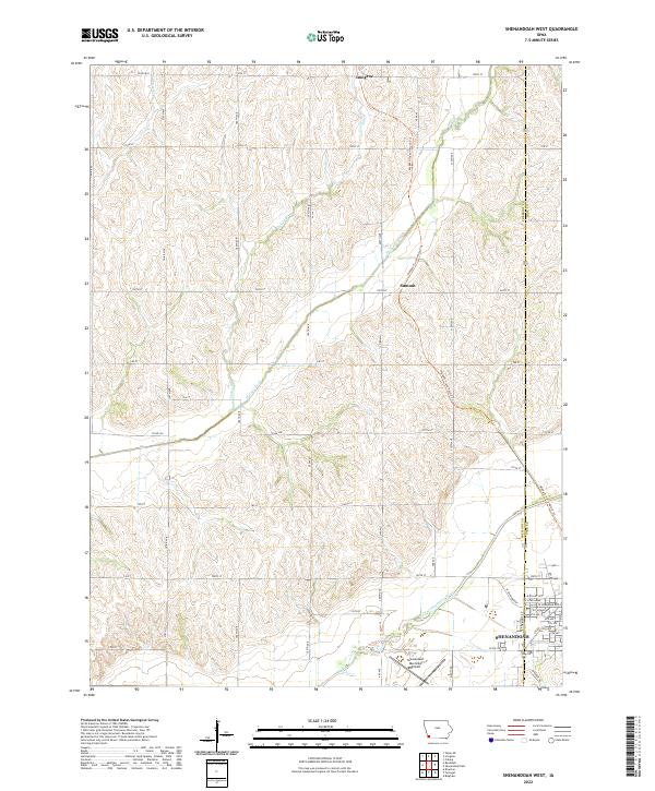
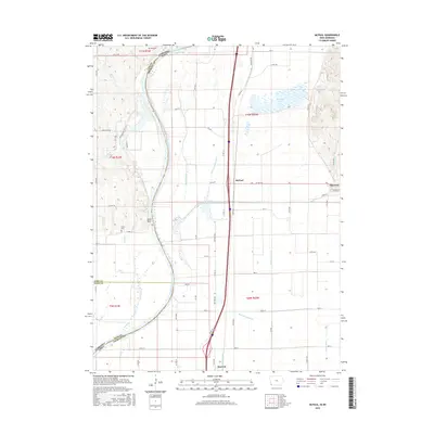
2022 Shenandoah West
Fremont County, IA
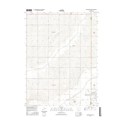
2022 Tabor SW
Fremont County, IA