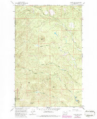
1968 Map of Tacoma Peak
USGS Topo · Published 1986About this map
Tacoma Peak and the surrounding high country of the Kaniksu National Forest and Colville National Forest dominate this landscape during the mid-1960s. The terrain is defined by a dense network of mountain drainage systems, where the North Fork, South Fork, and East Fork Tacoma Creek converge to shape the local topography. This period of the late 1960s, with revisions through the 1980s, shows a wilderness primarily accessible via a sparse system of marked roads and trails, including those leading toward Calispell Peak and the curiously named Dirty Shirt summit.
Find a feature on this map
25 named features on this map. Tap any name to fly to it.
Don’t see what you’re looking for? This feature index may not catch every label — zoom into the map to look around manually.
Map Details
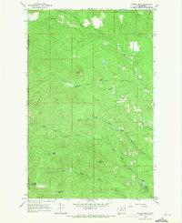
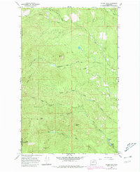
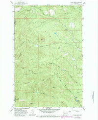
Editions of this 1968 Tacoma Peak Map
4 editions found
Other maps of this area

1927 · Chewelah
USGS Topo · 1:125,000

1929 · Colville
USGS Topo · 1:125,000

1930 · Chewelah
USGS Topo · 1:125,000

1933 · Colville
USGS Topo · 1:125,000

1934 · Metaline
USGS Topo · 1:125,000

1936 · Newport
USGS Topo · 1:96,000

1942 · Metaline
USGS Topo · 1:125,000

1942 · Newport
USGS Topo · 1:125,000

1958 · Sandpoint
USGS Topo · 1:250,000

1963 · Sandpoint
USGS Topo · 1:250,000