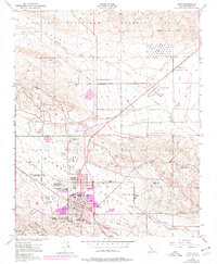
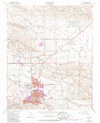
1950 Map of Taft
USGS Topo · Published 1976About this map
Naval Petroleum Reserve No 1 and Naval Petroleum Reserve No 2 dominate the landscape of the Elk Hills, where an intensive network of oil infrastructure defines the local economy. The 1950s data, updated with 1970s revisions, shows the development of Taft alongside its satellite communities of Ford City, Taft Heights, and South Taft. This area is characterized by numerous company outposts, including Standard Oil Camp 11-C and the Honolulu Oil Main Camp, reflecting a period when industrial workforce housing was integrated directly into the oil fields.
Find a feature on this map
43 named features on this map. Tap any name to fly to it.
Don’t see what you’re looking for? This feature index may not catch every label — zoom into the map to look around manually.
Map Details
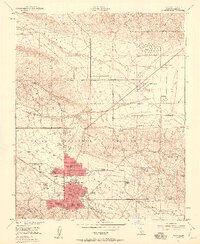
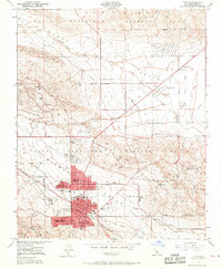
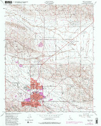
Editions of this 1950 Taft Map
5 editions found
Other maps of this area

1910 · Buena Vista Lake
USGS Topo · 1:125,000

1912 · McKittrick
USGS Topo · 1:125,000

1912 · Buena Vista Lake
USGS Topo · 1:125,000

1929 · Coles Levee
USGS Topo · 1:31,680

1929 · Mouth of Kern
USGS Topo · 1:31,680

1931 · Pentland Junction
USGS Topo · 1:31,680

1932 · West Elk Hills
USGS Topo · 1:31,680

1932 · East Elk Hills
USGS Topo · 1:31,680

1932 · Mouth of Kern
USGS Topo · 1:31,680
1933 · Tupman
USGS Topo · 1:31,680