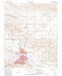
1950 Map of Taft
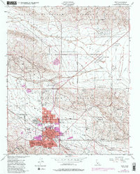
USGS Topo · Published 1986About this map
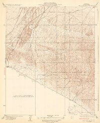
The massive Naval Petroleum Reserve No 1 and the surrounding Elk Hills dominate this landscape, illustrating the intense energy extraction focus of Kern County. Centered on the town of Taft, the map reveals a dense network of industrial infrastructure, including the Standard Oil Tank Farm and various petroleum settlements like Standard Oil Camp 1-C and Honolulu Oil Main Camp. These worker communities and institutional centers, such as the U S Geological Survey Camp Oil and Gas Div, reflect the specialized corporate geography that shaped the region’s development.
Find a feature on this map
39 named features on this map. Tap any name to fly to it.
Don’t see what you’re looking for? This feature index may not catch every label — zoom into the map to look around manually.
Map Details
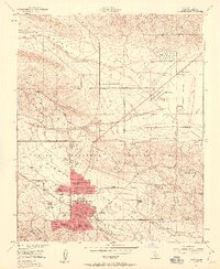
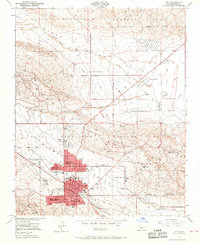
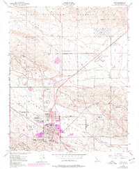
Editions of this 1950 Taft Map
5 editions found
Other maps of this area

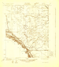
1910 · Buena Vista Lake
USGS Topo · 1:125,000

1912 · McKittrick
USGS Topo · 1:125,000

1912 · Buena Vista Lake
USGS Topo · 1:125,000
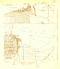
1929 · Coles Levee
USGS Topo · 1:31,680
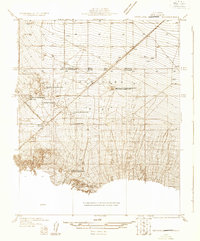
1929 · Mouth of Kern
USGS Topo · 1:31,680
1931 · Pentland Junction
USGS Topo · 1:31,680
1932 · West Elk Hills
USGS Topo · 1:31,680
1932 · East Elk Hills
USGS Topo · 1:31,680
1932 · Mouth of Kern
USGS Topo · 1:31,680
1933 · Tupman
USGS Topo · 1:31,680