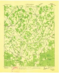
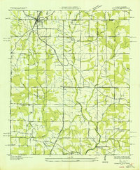
1949 Map of Taft
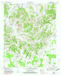
USGS Topo · Published 1982About this map
The Elk River winds through the northern reaches of this Lincoln County landscape, defining the topography with deep bends such as Hovis Bend. In the late 1940s, this region was a patchwork of agricultural hollows and small, rural settlements like Molino, Camargo, and Taft. The social fabric of the era is evidenced by numerous country churches and family burial grounds, including Smith Chapel and the McFerrin Cem.
Find a feature on this map
65 named features on this map. Tap any name to fly to it.
Don’t see what you’re looking for? This feature index may not catch every label — zoom into the map to look around manually.
Map Details
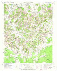
Editions of this 1949 Taft Map
2 editions found
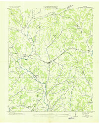
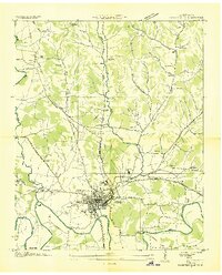
Other maps of this area

1888 · Huntsville
USGS Topo · 1:125,000

1892 · Huntsville
USGS Topo · 1:125,000
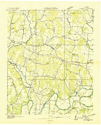
1936 · Taft
USGS Topo · 1:24,000

1936 · Fisk
USGS Topo · 1:24,000
1936 · Boonshill
USGS Topo · 1:24,000
1936 · Ardmore
USGS Topo · 1:24,000

1936 · Lincoln
USGS Topo · 1:24,000

1936 · Toney
USGS Topo · 1:24,000
1936 · Frankewing
USGS Topo · 1:24,000
1936 · Fayetteville
USGS Topo · 1:24,000