1951 Map of Taft
USGS Topo · Published 1951About this map
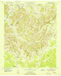
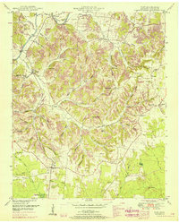
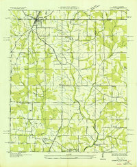
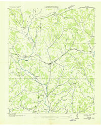
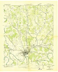
Elk River winds through the northern portion of this Lincoln County landscape, creating the distinct Sumners Bend before crossing under Hobbs Bridge and Sumners Bridge. This 1951 survey, based on 1940s aerial photography, reveals a rural Tennessee community defined by its complex network of hollows, including Stillhouse Hollow, Pisgah Hollow, and Spurlock Hollow. Small agricultural and social centers are scattered across the terrain, from the village of Taft in the southwest to Molino and Camargo in the east.
Find a feature on this map
73 named features on this map. Tap any name to fly to it.
Don’t see what you’re looking for? This feature index may not catch every label — zoom into the map to look around manually.
Map Details
Editions of this 1951 Taft Map
2 editions found
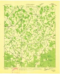
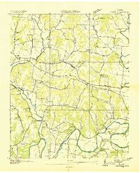
Other maps of this area

1888 · Huntsville
USGS Topo · 1:125,000

1892 · Huntsville
USGS Topo · 1:125,000
1936 · Taft
USGS Topo · 1:24,000

1936 · Fisk
USGS Topo · 1:24,000
1936 · Boonshill
USGS Topo · 1:24,000
1936 · Ardmore
USGS Topo · 1:24,000

1936 · Lincoln
USGS Topo · 1:24,000

1936 · Toney
USGS Topo · 1:24,000
1936 · Frankewing
USGS Topo · 1:24,000
1936 · Fayetteville
USGS Topo · 1:24,000