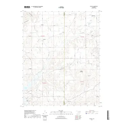
2019 Map of Tailholt
USGS Topo · Published 2019About this map
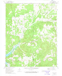
Rocky Mountain and Hungry Mtn dominate the central landscape of this Cherokee County region, where the terrain is deeply carved by drainages like Negro Jake Hollow and Mining Camp Hollow. The 2019 survey shows a network of rural communities including Barber, Welling, and the map's namesake, Tailholt, connected by a grid of county roads. For those tracing local history, the map preserves the location of Stony Point Cem, Barber Cem, and Caney Cem.
Find a feature on this map
81 named features on this map. Tap any name to fly to it.
Don’t see what you’re looking for? This feature index may not catch every label — zoom into the map to look around manually.
Map Details
Editions of this 2019 Tailholt Map
This is the sole edition of this map. No revisions or reprints were ever made.
Other maps of this area

1898 · Tahlequah
USGS Topo · 1:125,000

1901 · Tahlequah
USGS Topo · 1:125,000

1905 · Tahlequah
USGS Topo · 1:125,000

1946 · Fort Smith
USGS Topo · 1:250,000

1965 · Fort Smith
USGS Topo · 1:250,000

1967 · Fort Smith
USGS Topo · 1:250,000
1972 · Tahlequah
USGS Topo · 1:24,000
1972 · Christie
USGS Topo · 1:24,000
1972 · Stilwell West
USGS Topo · 1:24,000
1972 · Tailholt
USGS Topo · 1:24,000