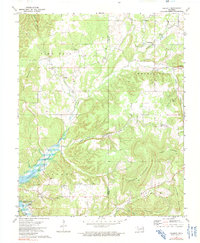
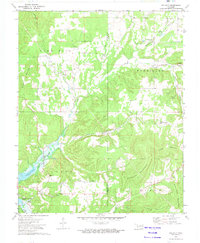
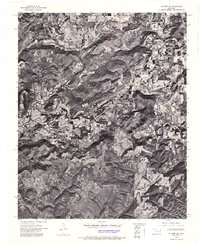
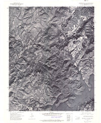
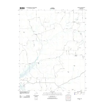
1972 Map of Tailholt
USGS Topo · Published 1991About this map
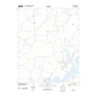
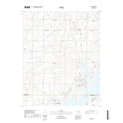
Tenkiller Ferry Lake dominates the southwestern corner of this landscape, its waters reaching an elevation of 632 feet and creating a complex shoreline against the hills of Cookson. The terrain is defined by a series of prominent elevations including Sugar Mountain, Jackson Mountain, and Sanders Mountain, separated by deep drainage systems like Negro Jake Hollow and Mining Camp Hollow. Small rural settlements and community centers such as Wauhillau, Tailholt, and Barber are scattered throughout the region, often centered around local institutions like Tenkiller Sch or the Assembly Church. The map illustrates a transitional landscape where the rising waters of the reservoir met established upland communities. Genealogists may find value in the scattered burial grounds, including Stony Point Cem, Caney Cem, and Barber Cem, which mark the ancestral footprint of this part of Cherokee and Adair counties.
Find a feature on this map
36 named features on this map. Tap any name to fly to it.
Don’t see what you’re looking for? This feature index may not catch every label — zoom into the map to look around manually.
Map Details
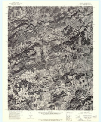
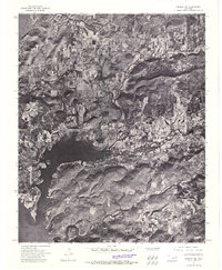
Editions of this 1972 Tailholt Map
2 editions found
Historical Maps of Barber Through Time
22 maps found
1972 Hulbert NE
Cherokee County, OK
1972 Hulbert NW
Cherokee County, OK
1972 Hulbert SE
Cherokee County, OK
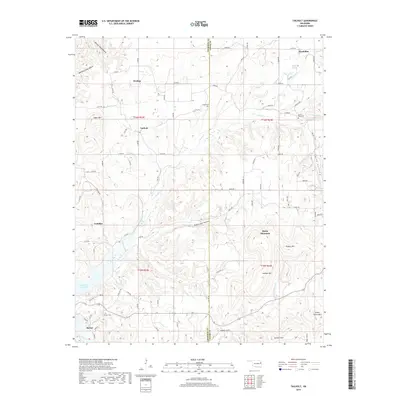
1972 Tailholt
Cherokee County, OK
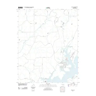
1972 Webbers Falls NE
Cherokee County, OK
1974 Qualls
Cherokee County, OK
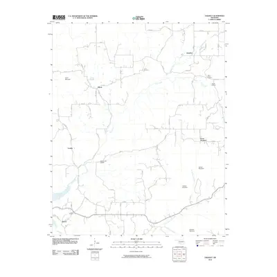
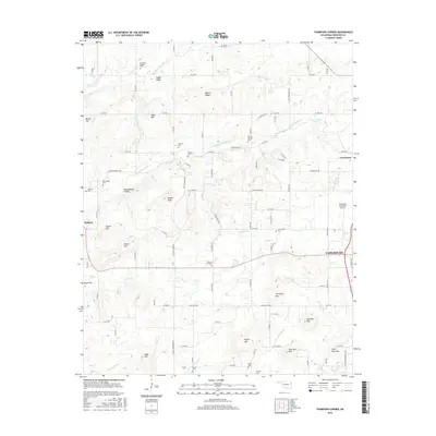
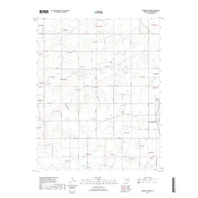
1974 Thompson Corner
Cherokee County, OK
2010 Qualls
Cherokee County, OK
2010 Tailholt
Cherokee County, OK
2010 Thompson Corner
Cherokee County, OK
2012 Qualls
Cherokee County, OK
2012 Tailholt
Cherokee County, OK
2012 Thompson Corner
Cherokee County, OK
2016 Qualls
Cherokee County, OK
2016 Tailholt
Cherokee County, OK
2016 Thompson Corner
Cherokee County, OK
2019 Qualls
Cherokee County, OK
2019 Tailholt
Cherokee County, OK
2019 Thompson Corner
Cherokee County, OK
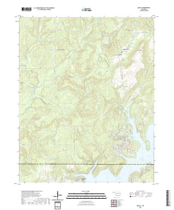
2022 Qualls
Cherokee County, OK
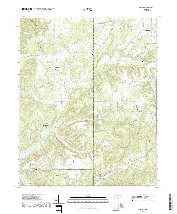
2022 Tailholt
Cherokee County, OK
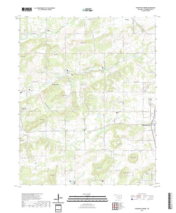
2022 Thompson Corner
Cherokee County, OK