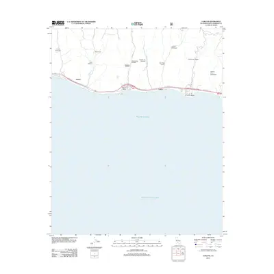
2012 Map of Tajiguas
USGS Topo · Published 2012About this map
Tajiguas Ranch and the surrounding coastline of the Gaviota Coast are documented here in 2012, showing a landscape defined by sharp coastal canyons and historic transportation corridors. The map traces the path of Calle Real as it follows the shoreline through Tajiguas and Capitan, paralleling the Pacific surf. Deep drainages like Cañada Del Refugio and Cañada del Capitan cut southward from the hills toward the ocean, creating a distinct series of isolated points and beaches including Refugio Beach and El Capitan Beach. This survey captures the rural character of this stretch of Santa Barbara County, where large ranch holdings and natural topography have largely limited development to the narrow coastal shelf. Inland features like Leon Canyon and Aguajito Canyon illustrate the steep rise of the coastal range just north of the sea.
Find a feature on this map
19 named features on this map. Tap any name to fly to it.
Don’t see what you’re looking for? This feature index may not catch every label — zoom into the map to look around manually.
Map Details
Editions of this 2012 Tajiguas Map
This is the sole edition of this map. No revisions or reprints were ever made.
Other maps of this area

1902 · Santa Ynez
USGS Topo · 1:125,000

1905 · Santa Ynez
USGS Topo · 1:125,000

1905 · Lompoc
USGS Topo · 1:125,000

1941 · San Rafael Mtn.
USGS Topo · 1:62,500

1942 · Lompoc
USGS Topo · 1:125,000

1942 · Gaviota
USGS Topo · 1:62,500

1942 · Goleta
USGS Topo · 1:62,500

1942 · San Rafael Mtn.
USGS Topo · 1:62,500

1942 · Los Olivos
USGS Topo · 1:62,500

1943 · San Rafael Mtn.
USGS Topo · 1:62,500