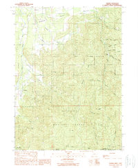
1996 Map of Takilma
USGS Topo · Published 1999About this map
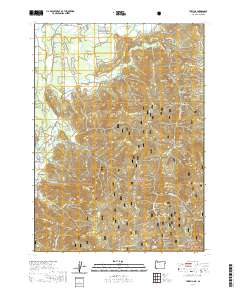
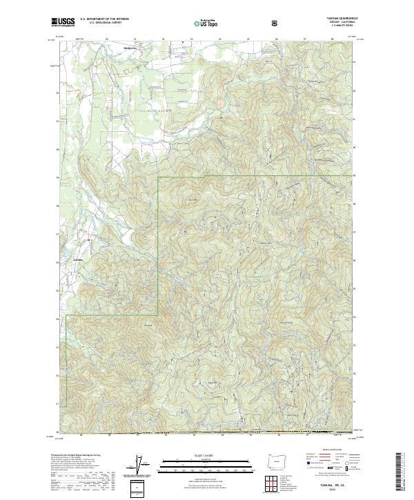
Takilma and the surrounding Illinois Valley are defined by a complex network of mining operations and steep terrain along the southern Oregon border. This late twentieth-century record showcases the heavy industrial footprint in the area, marked by extensive Tailings and historic sites like the Queen of Bronze Mine and Cowboy Mine. The landscape is a maze of gulches, including Democrat Gulch and Althouse Gulch, which feed into the East Fork Illinois River. While Bridgeview sits in the flatter valley floor, much of the map is dominated by the Siskiyou National Forest, where high points like Elder Mountain and Buckhorn Ridge overlook numerous prospect pits and mine shafts. The presence of Browntown (Site) serves as a quiet reminder of earlier settlement patterns tied to the extraction economy that shaped this corner of Josephine County.
Find a feature on this map
43 named features on this map. Tap any name to fly to it.
Don’t see what you’re looking for? This feature index may not catch every label — zoom into the map to look around manually.
Map Details
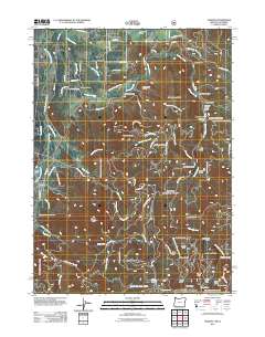
Editions of this 1996 Takilma Map
This is the sole edition of this map. No revisions or reprints were ever made.
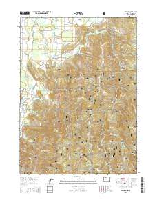
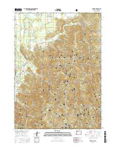
Historical Maps of Takilma Through Time
7 maps found