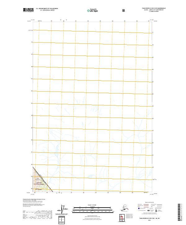
2021 Map of Taku River B-5 OE E SW
USGS Topo · Published 2021About this map
The Coast Mountains dominate this high-altitude Alaskan landscape, where the international border of the Canada United States of America cuts through the glaciated terrain. This 2021 study centers on the rugged interior of the Tongass National Forest, within the administrative boundaries of Juneau. The map illustrates the hydrological patterns of unnamed drainages and alpine basins characteristic of the region, emphasizing the remote wilderness south of the Taku River. While largely uninhabited, the survey provides a detailed look at the relief and topography of the t42s r74e township and range designation, essential for understanding the natural geography of the Pacific Northwest boundary lands.
Find a feature on this map
5 named features on this map. Tap any name to fly to it.
Don’t see what you’re looking for? This feature index may not catch every label — zoom into the map to look around manually.
Map Details
Editions of this 2021 Taku River B-5 OE E SW Map
This is the sole edition of this map. No revisions or reprints were ever made.
Other maps of this area

1951 · Taku River A-4
USGS Topo · 1:63,360

1951 · Taku River A-5
USGS Topo · 1:63,360

1951 · Taku River B-5
USGS Topo · 1:63,360

1953 · Taku River
USGS Topo · 1:250,000

1960 · Taku River
USGS Topo · 1:250,000
1996 · Taku River A-5
USGS Topo · 1:63,360
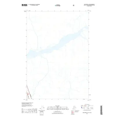
2017 · Taku River A-4 NE
USGS Topo · 1:25,000
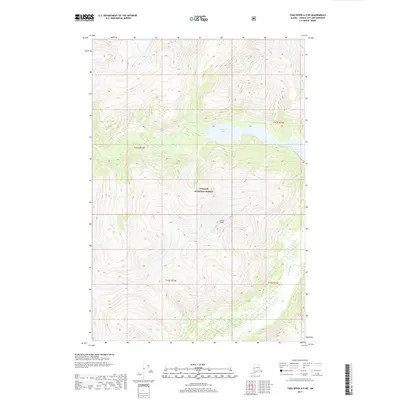
2017 · Taku River A-5 NE
USGS Topo · 1:25,000
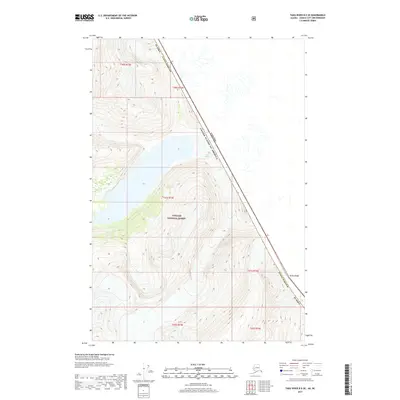
2017 · Taku River B-5 SE
USGS Topo · 1:25,000
2017 · Taku River B-5 OE E SW
USGS Topo · 1:25,000