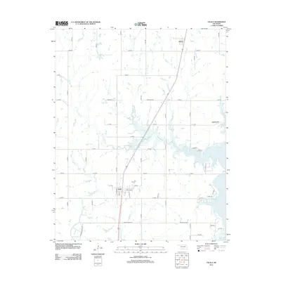
2013 Map of Talala
USGS Topo · Published 2013About this map
Talala serves as the central hub of this Rogers County landscape, where the local street grid including E Sequoyah St and N Willow St meets the highway and rail corridor. To the east, the waters of Oologah Lake dominate the terrain, creating a jagged shoreline that has significantly altered the local geography since the mid-20th century. This 2013 survey illustrates the modern configuration of rural roads and land divisions, connecting the larger settlement of Talala with the smaller communities of Watova to the north and Jamestown near the lake's edge.
Find a feature on this map
48 named features on this map. Tap any name to fly to it.
Don’t see what you’re looking for? This feature index may not catch every label — zoom into the map to look around manually.
Map Details
Editions of this 2013 Talala Map
This is the sole edition of this map. No revisions or reprints were ever made.
Other maps of this area

1901 · Claremore
USGS Topo · 1:125,000

1901 · Nowata
USGS Topo · 1:125,000

1914 · Nowata
USGS Topo · 1:125,000

1914 · Claremore
USGS Topo · 1:125,000

1916 · Claremore
USGS Topo · 1:125,000

1954 · Tulsa
USGS Topo · 1:250,000

1958 · Tulsa
USGS Topo · 1:250,000

1959 · Collinsville NE
USGS Topo · 1:24,000

1963 · Tulsa
USGS Topo · 1:250,000

1970 · Bartlesville SE
USGS Topo · 1:24,000