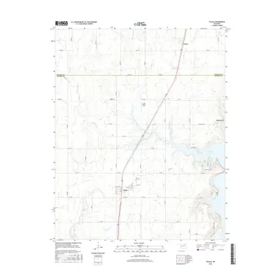
2016 Map of Talala
USGS Topo · Published 2016About this map
Talala and the surrounding Rogers County ranchlands are documented here just as the landscape meets the western reaches of Oologah Lake. The town is centered on a grid of streets including W Watova St and E Watova St, situated along a primary north-south corridor that links it to Watova and Jamestown. This region is defined by the convergence of several waterways, including the N Fork Talala Cr, S Fork Talala Cr, and Fourmile Cr, which shape the local drainage patterns. Local history is anchored by established landmarks such as Fair View Cem and the more remote Bible Cem near the lake's edge. The presence of the Lariat Ranch Airport north of town and the neighborhood of Sunnyside further define the 21st-century character of this rural Oklahoma community.
Find a feature on this map
33 named features on this map. Tap any name to fly to it.
Don’t see what you’re looking for? This feature index may not catch every label — zoom into the map to look around manually.
Map Details
Editions of this 2016 Talala Map
This is the sole edition of this map. No revisions or reprints were ever made.
Other maps of this area

1901 · Claremore
USGS Topo · 1:125,000

1901 · Nowata
USGS Topo · 1:125,000

1914 · Nowata
USGS Topo · 1:125,000

1914 · Claremore
USGS Topo · 1:125,000

1916 · Claremore
USGS Topo · 1:125,000

1954 · Tulsa
USGS Topo · 1:250,000

1958 · Tulsa
USGS Topo · 1:250,000

1959 · Collinsville NE
USGS Topo · 1:24,000

1963 · Tulsa
USGS Topo · 1:250,000

1970 · Bartlesville SE
USGS Topo · 1:24,000