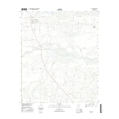
2016 Map of Talco
USGS Topo · Published 2016About this map
Talco serves as the primary hub in this corner of Titus County, where a grid of streets like Lide St and W Crawford Ave meets the surrounding ranching and timber lands. The landscape is defined by the complex hydrology of the White Oak Creek bottomlands, a wide floodplain characterized by the winding Big Slough and numerous seasonal wetlands. To the east, the small settlement of Maple Springs sits on higher ground near the Belcher Cem, reflecting the rural burial traditions and dispersed community patterns of Northeast Texas.
Find a feature on this map
51 named features on this map. Tap any name to fly to it.
Don’t see what you’re looking for? This feature index may not catch every label — zoom into the map to look around manually.
Map Details
Editions of this 2016 Talco Map
This is the sole edition of this map. No revisions or reprints were ever made.
Other maps of this area

1953 · Texarkana
USGS Topo · 1:250,000

1956 · Texarkana
USGS Topo · 1:250,000

1964 · Mount Vernon
USGS Topo · 1:24,000

1964 · Cuthand
USGS Topo · 1:24,000

1964 · Wilkinson
USGS Topo · 1:24,000

1964 · Talco
USGS Topo · 1:24,000

1964 · Hagansport
USGS Topo · 1:24,000

1964 · Bogata
USGS Topo · 1:24,000

1965 · Winfield
USGS Topo · 1:24,000

1965 · Mount Pleasant
USGS Topo · 1:24,000