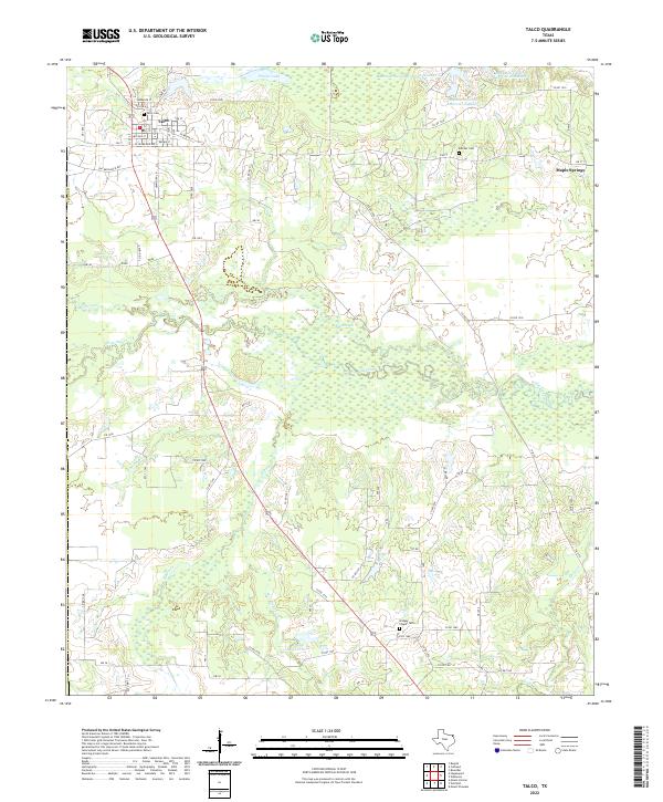
2022 Map of Talco
USGS Topo · Published 2022About this map
The town of Talco and the surrounding northeast Texas landscape are defined by a complex network of waterways and rural burial grounds. The community of Maple Springs sits to the east, while the town of Talco itself is organized along a grid including Lawrence St, N Broad St, and McLean St. To the south, the terrain becomes increasingly wetland-oriented as it approaches White Oak Creek and the meandering Big Slough.
Find a feature on this map
56 named features on this map. Tap any name to fly to it.
Don’t see what you’re looking for? This feature index may not catch every label — zoom into the map to look around manually.
Map Details
Editions of this 2022 Talco Map
This is the sole edition of this map. No revisions or reprints were ever made.
Other maps of this area

1953 · Texarkana
USGS Topo · 1:250,000

1956 · Texarkana
USGS Topo · 1:250,000

1964 · Mount Vernon
USGS Topo · 1:24,000

1964 · Cuthand
USGS Topo · 1:24,000

1964 · Wilkinson
USGS Topo · 1:24,000

1964 · Talco
USGS Topo · 1:24,000

1964 · Hagansport
USGS Topo · 1:24,000

1964 · Bogata
USGS Topo · 1:24,000

1965 · Winfield
USGS Topo · 1:24,000

1965 · Mount Pleasant
USGS Topo · 1:24,000