
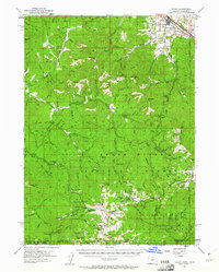
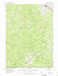
1954 Map of Talent
USGS Topo · Published 1956About this map
Talent sits at the northern edge of this mid-1950s survey, marking a transition from the agricultural and rail-oriented Bear Creek valley into the high elevations of the Rogue River National Forest. The landscape is defined by its deep drainage networks and high peaks, notably Observation Peak and Wagner Butte, which anchor the southern reaches along the Oregon California state line. Evidence of early industry and habitation appears in the scatter of high-altitude landmarks like Ashland Mines and the Sleepy Mine.
Find a feature on this map
131 named features on this map. Tap any name to fly to it.
Don’t see what you’re looking for? This feature index may not catch every label — zoom into the map to look around manually.
Map Details
Editions of this 1954 Talent Map
3 editions found
Other maps of this area

1886 · Shasta
USGS Topo · 1:250,000

1891 · Ashland
USGS Topo · 1:250,000

1893 · Ashland
USGS Topo · 1:250,000

1894 · Shasta
USGS Topo · 1:250,000

1897 · Ashland
USGS Topo · 1:250,000

1908 · Grants Pass
USGS Topo · 1:125,000

1914 · Seiad
USGS Topo · 1:125,000

1922 · Seiad
USGS Topo · 1:125,000

1932 · Yreka
USGS Topo · 1:96,000

1938 · Medford
USGS Topo · 1:125,000