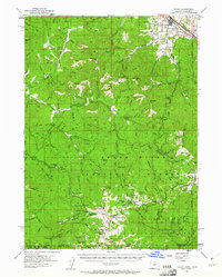
1954 Map of Talent
USGS Topo · Published 1961About this map
Sterling Mine and its namesake Sterling Cem sit within a landscape of early resource extraction and mountain cattle ranching in the mid-1950s. The settlement of Talent is a concentrated hub of activity along the Southern Pacific tracks, while the rest of the terrain is defined by the steep drainage basins of the Applegate River and the Little Applegate River. Local history is preserved in several isolated ranch holdings such as Barr Ranch, Cass Ranch, and Brickpile Ranch, which represent the scattered agrarian life of the Rogue River National Forest foothills. High-elevation points like the Dutchmans Peak Lookout and Observation Peak overlook a network of jeep trails and mines, including the Ashland Mines and Grubstake Mine, marking the intersection of rugged industry and forestry in the Siskiyou Mountains along the Oregon-California border.
Find a feature on this map
53 named features on this map. Tap any name to fly to it.
Don’t see what you’re looking for? This feature index may not catch every label — zoom into the map to look around manually.
Map Details
Editions of this 1954 Talent Map
3 editions found

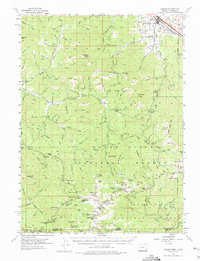
Other maps of this area

1886 · Shasta
USGS Topo · 1:250,000

1891 · Ashland
USGS Topo · 1:250,000

1893 · Ashland
USGS Topo · 1:250,000

1894 · Shasta
USGS Topo · 1:250,000

1897 · Ashland
USGS Topo · 1:250,000

1908 · Grants Pass
USGS Topo · 1:125,000

1914 · Seiad
USGS Topo · 1:125,000

1922 · Seiad
USGS Topo · 1:125,000

1932 · Yreka
USGS Topo · 1:96,000

1938 · Medford
USGS Topo · 1:125,000