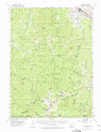
1954 Map of Talent
USGS Topo · Published 1975About this map
Mining operations and hydraulic water systems define this 1954 topographic study of the Siskiyou Mountains. The Sterling Mine and the elaborate China Ditch reflect a landscape transformed by extraction, with the Sterling Ditch winding through the hills above the Little Applegate River. Near the northeastern corner, Talent serves as a valley hub along the Southern Pacific railroad, while smaller settlements like Buncom and various family holdings such as Barr Ranch and Beaver Ranch are scattered through the rugged drainages.
Find a feature on this map
157 named features on this map. Tap any name to fly to it.
Don’t see what you’re looking for? This feature index may not catch every label — zoom into the map to look around manually.
Map Details
Editions of this 1954 Talent Map
3 editions found

Other maps of this area

1886 · Shasta
USGS Topo · 1:250,000

1891 · Ashland
USGS Topo · 1:250,000

1893 · Ashland
USGS Topo · 1:250,000

1894 · Shasta
USGS Topo · 1:250,000

1897 · Ashland
USGS Topo · 1:250,000

1908 · Grants Pass
USGS Topo · 1:125,000

1914 · Seiad
USGS Topo · 1:125,000

1922 · Seiad
USGS Topo · 1:125,000

1932 · Yreka
USGS Topo · 1:96,000

1938 · Medford
USGS Topo · 1:125,000