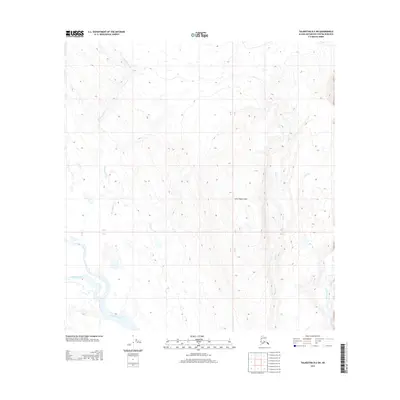
2013 Map of Talkeetna B-2 SW
USGS Topo · Published 2013About this map
The Kahiltna River snakes through this remote Alaskan terrain, defining the lower reaches of the landscape. To the north, the elevation rises toward the Little Peters Hills, a prominent topographical feature that anchors the central portion of the quadrangle. This area is defined by its complex drainage systems, where several significant water bodies such as Hungryman Cr and Bear Cr flow through the valleys. The proximity of Peters Creek and Pickle Cr indicates a high-latitude wilderness environment where glacial runoff and seasonal meltwater shape the land. The mapping of township lines T 26 N and T 25 N provides a structural framework for this otherwise unpopulated region of the Matanuska-Susitna Borough, reflecting the methodical surveying of the Alaskan interior.
Find a feature on this map
10 named features on this map. Tap any name to fly to it.
Don’t see what you’re looking for? This feature index may not catch every label — zoom into the map to look around manually.
Map Details
Editions of this 2013 Talkeetna B-2 SW Map
This is the sole edition of this map. No revisions or reprints were ever made.
Other maps of this area

1950 · Talkeetna
USGS Topo · 1:250,000

1951 · Talkeetna
USGS Topo · 1:250,000

1954 · Talkeetna A-3
USGS Topo · 1:63,360

1954 · Talkeetna A-2
USGS Topo · 1:63,360

1954 · Talkeetna B-3
USGS Topo · 1:63,360

1954 · Talkeetna B-2
USGS Topo · 1:63,360

1958 · Talkeetna
USGS Topo · 1:250,000

1965 · Talkeetna
USGS Topo · 1:250,000
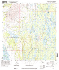
1994 · Talkeetna B-2
USGS Topo · 1:63,360
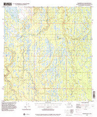
1994 · Talkeetna A-2
USGS Topo · 1:63,360