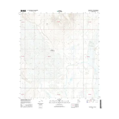
2016 Map of Talkeetna C-1 NW
USGS Topo · Published 2016About this map
Denali National Park encompasses this wilderness region within the Alaska Range, where the slow-moving ice of the Ruth Glacier feeds a complex network of glacial meltwater. The drainage system is defined by the Ruth River and the braided channels of the Tokositna River, which wind through low-lying wetlands and brush towards the Chulitna River on the eastern edge of the quadrangle. Small interior water bodies like Pirate Lake and drainage from Alder Creek dot the landscape between the high mountain peaks and the river valleys. This 2016 survey illustrates the glacial retreat and the shifting hydrologic patterns of the subarctic, showing how tributary streams like Byers Cr and the Coffee River interact with the larger glacial flows that continue to carve this protected landscape.
Find a feature on this map
20 named features on this map. Tap any name to fly to it.
Don’t see what you’re looking for? This feature index may not catch every label — zoom into the map to look around manually.
Map Details
Editions of this 2016 Talkeetna C-1 NW Map
This is the sole edition of this map. No revisions or reprints were ever made.
Other maps of this area

1950 · Talkeetna
USGS Topo · 1:250,000

1951 · Talkeetna
USGS Topo · 1:250,000

1951 · Talkeetna C-1
USGS Topo · 1:63,360

1958 · Talkeetna C-1
USGS Topo · 1:63,360

1958 · Talkeetna C-2
USGS Topo · 1:63,360

1958 · Talkeetna D-2
USGS Topo · 1:63,360
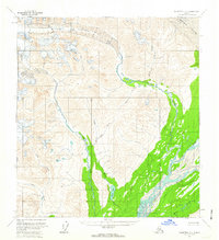
1958 · Talkeetna D-1
USGS Topo · 1:63,360

1958 · Talkeetna
USGS Topo · 1:250,000

1965 · Talkeetna
USGS Topo · 1:250,000
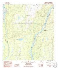
1987 · Talkeetna C-1 SE
USGS Topo · 1:25,000