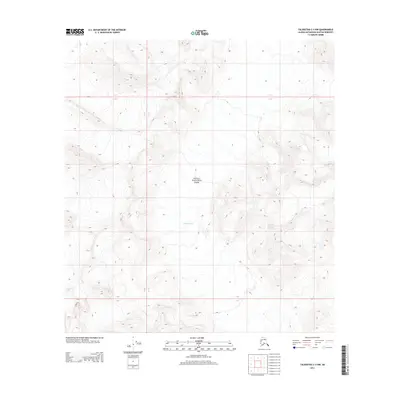
2014 Map of Talkeetna C-3 NW
USGS Topo · Published 2014About this map
Denali National Park encompasses the majority of this landscape, dominated by the massive presence of the Kahiltna Glacier. This 2014 survey reveals the intricate topography of the Alaska Range, where elevation contours indicate a high-alpine environment of ice and rock. The map captures a section of the glacial flow as it moves between towering ridges, illustrating the vast scale of the glacial systems within the Matanuska-Susitna Borough. The absence of roads, structures, or human settlements emphasizes the character of this protected wilderness, where the only demarcations are the township and range lines like R 12 W and R 11 W.
Find a feature on this map
5 named features on this map. Tap any name to fly to it.
Don’t see what you’re looking for? This feature index may not catch every label — zoom into the map to look around manually.
Map Details
Editions of this 2014 Talkeetna C-3 NW Map
This is the sole edition of this map. No revisions or reprints were ever made.
Other maps of this area

1950 · Talkeetna
USGS Topo · 1:250,000

1951 · Talkeetna
USGS Topo · 1:250,000

1958 · Talkeetna C-4
USGS Topo · 1:63,360

1958 · Talkeetna D-4
USGS Topo · 1:63,360

1958 · Talkeetna C-3
USGS Topo · 1:63,360

1958 · Talkeetna D-3
USGS Topo · 1:63,360

1958 · Talkeetna
USGS Topo · 1:250,000

1965 · Talkeetna
USGS Topo · 1:250,000
2014 · Talkeetna D-4 SE
USGS Topo · 1:25,000
2014 · Talkeetna C-3 NE
USGS Topo · 1:25,000