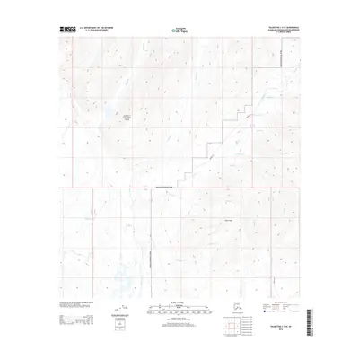
2014 Map of Talkeetna C-3 SE
USGS Topo · Published 2014About this map
Denali National Park encompasses the northern portion of this landscape, where the high-altitude terrain transition is marked by the massive Kahiltna Glacier in the southwest. The geography is defined by a dense network of mountain drainage, including Granite Cr and Whistler Cr, which carve through the elevations near the Dutch Hills. This 2014 survey records a remote wilderness largely inaccessible by traditional roads, instead relying on the Winter Trl for seasonal passage across the drainage of Dollar Cr and Falls Cr. The map captures the complex hydrology of the region before further environmental shifts, providing a detailed look at the untouched glacial and creek systems that define the Matanuska-Susitna interior.
Find a feature on this map
19 named features on this map. Tap any name to fly to it.
Don’t see what you’re looking for? This feature index may not catch every label — zoom into the map to look around manually.
Map Details
Editions of this 2014 Talkeetna C-3 SE Map
This is the sole edition of this map. No revisions or reprints were ever made.
Other maps of this area

1950 · Talkeetna
USGS Topo · 1:250,000

1951 · Talkeetna
USGS Topo · 1:250,000

1954 · Talkeetna B-3
USGS Topo · 1:63,360

1954 · Talkeetna B-2
USGS Topo · 1:63,360

1958 · Talkeetna C-2
USGS Topo · 1:63,360

1958 · Talkeetna C-3
USGS Topo · 1:63,360

1958 · Talkeetna
USGS Topo · 1:250,000

1965 · Talkeetna
USGS Topo · 1:250,000
1994 · Talkeetna B-2
USGS Topo · 1:63,360
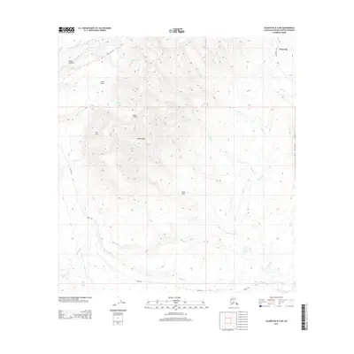
2013 · Talkeetna B-2 NW
USGS Topo · 1:25,000