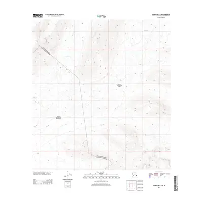
2014 Map of Talkeetna C-4 NE
USGS Topo · Published 2014About this map
Lacuna Glacier and Yentna Glacier dominate the upper elevations of this high-latitude terrain within the Alaska Range. This 2014 survey captures the meeting point of significant protected lands, illustrating the complex management boundaries where Denali National Park and the Denali National Preserve intersect. The topography is defined by ice-sculpted valleys and the headwaters of glacial systems, with the line of Denali National Park Denali National Preserve cutting across the southwestern quadrant. Public land survey system lines for townships T 31 N and T 30 N provide a structural grid over a landscape otherwise devoid of permanent human settlements or infrastructure, emphasizing the wilderness character of the Matanuska-Susitna Borough interior.
Find a feature on this map
9 named features on this map. Tap any name to fly to it.
Don’t see what you’re looking for? This feature index may not catch every label — zoom into the map to look around manually.
Map Details
Editions of this 2014 Talkeetna C-4 NE Map
This is the sole edition of this map. No revisions or reprints were ever made.
Other maps of this area

1950 · Talkeetna
USGS Topo · 1:250,000

1951 · Talkeetna
USGS Topo · 1:250,000

1958 · Talkeetna C-4
USGS Topo · 1:63,360

1958 · Talkeetna D-4
USGS Topo · 1:63,360

1958 · Talkeetna C-3
USGS Topo · 1:63,360

1958 · Talkeetna D-3
USGS Topo · 1:63,360

1958 · Talkeetna
USGS Topo · 1:250,000

1965 · Talkeetna
USGS Topo · 1:250,000
2014 · Talkeetna C-3 NW
USGS Topo · 1:25,000
2014 · Talkeetna D-4 SE
USGS Topo · 1:25,000