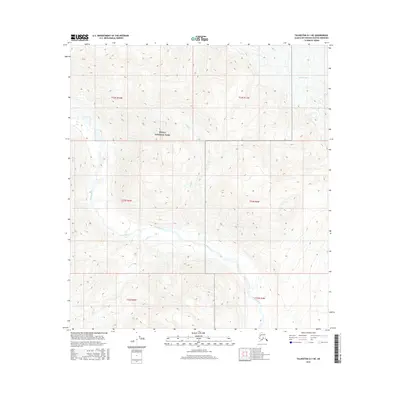
2016 Map of Talkeetna D-1 NE
USGS Topo · Published 2016About this map
Denali National Park encompasses a significant portion of this interior Alaskan landscape, where glacial activity and mountain drainages define the geography. The massive Eldridge Glacier occupies the northeastern corner, its frozen expanse giving way to a network of silt-laden alpine streams. The Hidden River meanders across the lower half of the quadrangle, joined by tributaries such as Swift Cr and Skihi Cr. This 2016 survey illustrates the complex relationship between the high-altitude ice fields and the valley floors, providing a record of hydrological patterns and protected lands within the Alaska-Matanuska-Susitna Borough. The map is characterized by its lack of human infrastructure, focusing instead on the natural topography and established park boundaries that preserve this wilderness area.
Find a feature on this map
12 named features on this map. Tap any name to fly to it.
Don’t see what you’re looking for? This feature index may not catch every label — zoom into the map to look around manually.
Map Details
Editions of this 2016 Talkeetna D-1 NE Map
This is the sole edition of this map. No revisions or reprints were ever made.
Other maps of this area

1949 · Talkeetna Mountains D-6
USGS Topo · 1:63,360

1949 · Healy A-6
USGS Topo · 1:63,360

1950 · Talkeetna Mountains
USGS Topo · 1:250,000

1950 · Talkeetna
USGS Topo · 1:250,000

1951 · Talkeetna
USGS Topo · 1:250,000

1951 · Healy
USGS Topo · 1:250,000

1951 · Talkeetna Mountains D-6
USGS Topo · 1:63,360

1952 · Mount McKinley
USGS Topo · 1:250,000

1952 · Talkeetna Mountains D-6
USGS Topo · 1:63,360

1953 · Healy A-6
USGS Topo · 1:63,360