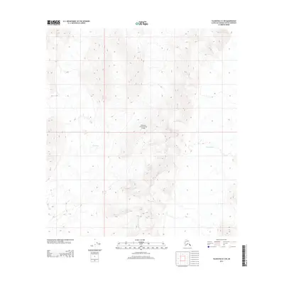
2014 Map of Talkeetna D-3 SW
USGS Topo · Published 2014About this map
Denali National Park encompasses the central terrain of this quadrangle, showcasing a landscape dominated by massive ice systems and high-altitude topography. The map illustrates the convergence of two significant glacial bodies, with the Kahiltna Glacier occupying the eastern edge and the Lacuna Glacier flowing through the central-western portion. These ice flows are separated by high ridges and peaks, providing a clear view of the glacial drainage patterns in the Alaska Range. As a modern survey, this document records the extent of these ice fields and the surrounding high-country wilderness, serving as a baseline for studying the shifting margins of subarctic glaciers.
Find a feature on this map
5 named features on this map. Tap any name to fly to it.
Don’t see what you’re looking for? This feature index may not catch every label — zoom into the map to look around manually.
Map Details
Editions of this 2014 Talkeetna D-3 SW Map
This is the sole edition of this map. No revisions or reprints were ever made.
Other maps of this area

1950 · Talkeetna
USGS Topo · 1:250,000

1951 · Talkeetna
USGS Topo · 1:250,000

1958 · Talkeetna C-4
USGS Topo · 1:63,360

1958 · Talkeetna D-4
USGS Topo · 1:63,360

1958 · Talkeetna C-3
USGS Topo · 1:63,360

1958 · Talkeetna D-3
USGS Topo · 1:63,360

1958 · Talkeetna
USGS Topo · 1:250,000

1965 · Talkeetna
USGS Topo · 1:250,000
2014 · Talkeetna C-3 NW
USGS Topo · 1:25,000
2014 · Talkeetna D-4 SE
USGS Topo · 1:25,000