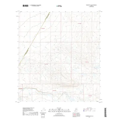
2017 Map of Talkeetna D-6 NE
USGS Topo · Published 2017About this map
The Tonzona River winds through the southern reaches of this landscape, marking a significant hydrologic corridor in the Alaskan interior. This 2017 survey by the U.S. Geological Survey captures the transition between the Yukon-Koyukuk Census Area and Denali Borough, a boundary defined by the remote and varied terrain of the region. To the west, Red Paint Cr feeds into the primary river system, while the northeast corner is punctuated by Scotty Lake. The topography is characterized by intricate elevation changes and a scattering of unnamed water bodies, reflecting a wilderness largely untouched by permanent infrastructure. The map provides a detailed view of the Public Land Survey System grids, such as t33n r18w and t22s r26w, which are essential for understanding land divisions and potential historical claims in this portion of the Unorganized Borough.
Find a feature on this map
11 named features on this map. Tap any name to fly to it.
Don’t see what you’re looking for? This feature index may not catch every label — zoom into the map to look around manually.
Map Details
Editions of this 2017 Talkeetna D-6 NE Map
This is the sole edition of this map. No revisions or reprints were ever made.
Other maps of this area
1950 · Talkeetna
USGS Topo · 1:250,000
1951 · Talkeetna
USGS Topo · 1:250,000
1952 · Mount McKinley
USGS Topo · 1:250,000
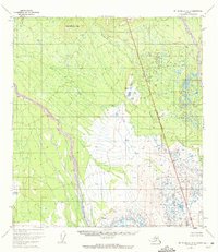
1952 · Mount McKinley A-5
USGS Topo · 1:63,360
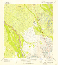
1954 · Mount McKinley A-5
USGS Topo · 1:63,360
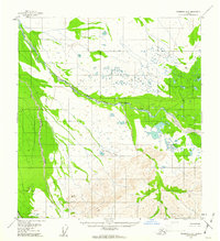
1958 · Talkeetna D-6
USGS Topo · 1:63,360
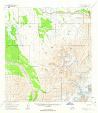
1958 · Talkeetna D-5
USGS Topo · 1:63,360
1958 · Talkeetna
USGS Topo · 1:250,000
1958 · Mount McKinley A-6
USGS Topo · 1:63,360
1958 · Mount McKinley
USGS Topo · 1:250,000