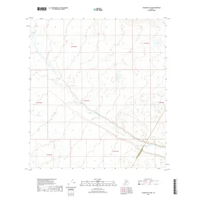
2017 Map of Talkeetna D-6 NW
USGS Topo · Published 2017About this map
The Tonzona River dominates this interior Alaskan landscape, winding through a glacial valley where its braided channels reflect the dynamic water systems of the region. This survey highlights a critical administrative boundary line where the Yukon-Koyukuk Census Area and Denali Borough meet, cutting across the river's path. In the southwestern reaches, Pingston Cr flows through the lowlands, providing a secondary drainage system within the complex topography of the Alaska Range foothills. The absence of roads or permanent settlements emphasizes the wilderness character of these townships, where the terrain is primarily defined by high-elevation contours and shifting river beds.
Find a feature on this map
10 named features on this map. Tap any name to fly to it.
Don’t see what you’re looking for? This feature index may not catch every label — zoom into the map to look around manually.
Map Details
Editions of this 2017 Talkeetna D-6 NW Map
This is the sole edition of this map. No revisions or reprints were ever made.
Other maps of this area
1949 · McGrath
USGS Topo · 1:250,000
1950 · Medfra
USGS Topo · 1:250,000
1950 · McGrath
USGS Topo · 1:250,000
1950 · Talkeetna
USGS Topo · 1:250,000
1951 · Talkeetna
USGS Topo · 1:250,000
1952 · Mount McKinley
USGS Topo · 1:250,000
1958 · Talkeetna D-6
USGS Topo · 1:63,360
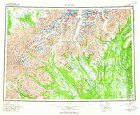
1958 · Talkeetna
USGS Topo · 1:250,000
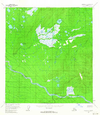
1958 · Medfra A-1
USGS Topo · 1:63,360
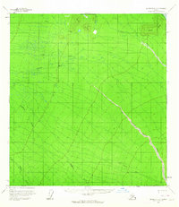
1958 · McGrath D-1
USGS Topo · 1:63,360