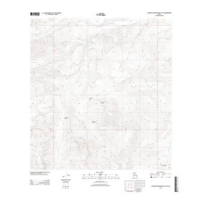
2013 Map of Talkeetna Mountains A-2 SE
USGS Topo · Published 2013About this map
Little Nelchina River carves through this northern section of the Matanuska-Susitna region, revealing a landscape defined by significant elevation changes and geologic markers. The terrain is anchored by the Limestone Hills and the northern reaches of the Horn Mountains, where features like Limestone Gap and Limestone Gulch indicate a distinct mineral composition in the high ridges. This 2013 survey provides a clear view of the complex drainage networks feeding the river, including Cardioceras Cr, Cadoceras Cr, and Ammonite Cr. The naming conventions of these waterways—referencing Mesozoic fossils—hint at the scientific importance of this area for geological study. The absence of roads or permanent structures reflects the wilderness character of these high-altitude townships, where the primary landmarks are the summits and the winding paths of Bubb Cr and Billy Cr.
Find a feature on this map
17 named features on this map. Tap any name to fly to it.
Don’t see what you’re looking for? This feature index may not catch every label — zoom into the map to look around manually.
Map Details
Editions of this 2013 Talkeetna Mountains A-2 SE Map
This is the sole edition of this map. No revisions or reprints were ever made.
Other maps of this area
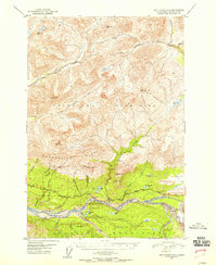
1948 · Anchorage D-3
USGS Topo · 1:63,360
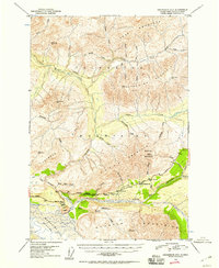
1948 · Anchorage D-2
USGS Topo · 1:63,360
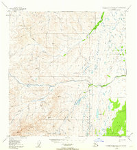
1949 · Talkeetna Mountains A-1
USGS Topo · 1:63,360
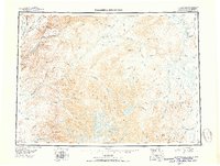
1950 · Talkeetna Mountains
USGS Topo · 1:250,000
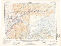
1951 · Anchorage
USGS Topo · 1:250,000
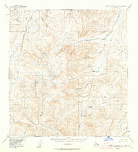
1951 · Talkeetna Mountains A-2
USGS Topo · 1:63,360
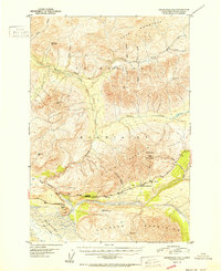
1952 · Anchorage D-2
USGS Topo · 1:63,360
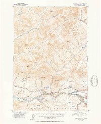
1952 · Anchorage D-3
USGS Topo · 1:63,360
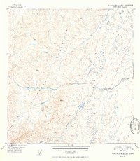
1952 · Talkeetna Mountains A-1
USGS Topo · 1:63,360
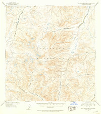
1952 · Talkeetna Mountains A-2
USGS Topo · 1:63,360