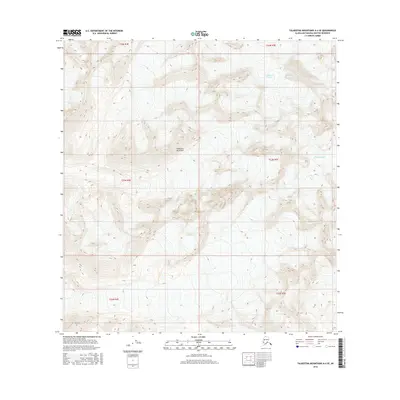
2016 Map of Talkeetna Mountains A-4 SE
USGS Topo · Published 2016About this map
Talkeetna Mountains dominate this high-altitude landscape in the southern interior of Alaska. This 2016 survey provides a precise look at the glacial and topographical characteristics of a region defined by its ice and elevation. The map prominently features the massive Talkeetna Glacier in the northeast and the Chickaloon Glacier further south, illustrating the significant presence of permanent ice fields. The lack of roads, structures, or named settlements highlights the extreme environment of this portion of the Talkeetna Mountains. For researchers of environmental change and glaciology, the detailed contour intervals provide a baseline for observing the reach of these ice bodies as they stood in the mid-2010s.
Find a feature on this map
9 named features on this map. Tap any name to fly to it.
Don’t see what you’re looking for? This feature index may not catch every label — zoom into the map to look around manually.
Map Details
Editions of this 2016 Talkeetna Mountains A-4 SE Map
This is the sole edition of this map. No revisions or reprints were ever made.
Other maps of this area
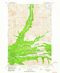
1948 · Anchorage D-4
USGS Topo · 1:63,360
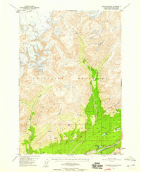
1949 · Anchorage D-5
USGS Topo · 1:63,360
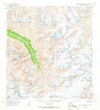
1949 · Talkeetna Mountains A-4
USGS Topo · 1:63,360

1950 · Talkeetna Mountains
USGS Topo · 1:250,000
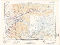
1951 · Anchorage
USGS Topo · 1:250,000
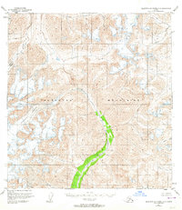
1951 · Talkeetna Mountains A-3
USGS Topo · 1:63,360
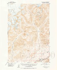
1952 · Anchorage D-5
USGS Topo · 1:63,360
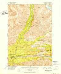
1952 · Anchorage D-4
USGS Topo · 1:63,360
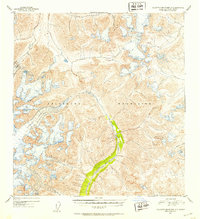
1952 · Talkeetna Mountains A-3
USGS Topo · 1:63,360
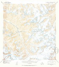
1954 · Talkeetna Mountains A-4
USGS Topo · 1:63,360