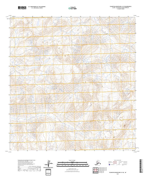
2023 Map of Talkeetna Mountains A-5 SE
USGS Topo · Published 2023About this map
Sheep Creek cuts through the western reaches of this high-elevation landscape in the Matanuska-Susitna Borough. This modern digital survey by the U.S. Geological Survey illustrates the complex topography of the Talkeetna Mountains, where steep ridgelines and deep valleys are defined by 80-foot contour intervals. The map provides a clear look at the Public Land Survey System grid, including boundaries for t24n r1e, t24n r2e, and surrounding townships. This is a purely wilderness-oriented sheet, focusing on the drainage patterns and physical geography of the Alaskan interior without any established roads or human settlements.
Find a feature on this map
7 named features on this map. Tap any name to fly to it.
Don’t see what you’re looking for? This feature index may not catch every label — zoom into the map to look around manually.
Map Details
Editions of this 2023 Talkeetna Mountains A-5 SE Map
This is the sole edition of this map. No revisions or reprints were ever made.
Other maps of this area

1949 · Anchorage D-7
USGS Topo · 1:63,360

1949 · Talkeetna Mountains A-4
USGS Topo · 1:63,360

1950 · Talkeetna Mountains
USGS Topo · 1:250,000

1950 · Anchorage D-6
USGS Topo · 1:63,360

1950 · Talkeetna Mountains A-5
USGS Topo · 1:63,360

1951 · Anchorage
USGS Topo · 1:250,000

1951 · Anchorage D-7
USGS Topo · 1:63,360

1952 · Anchorage D-7
USGS Topo · 1:63,360

1952 · Anchorage D-6
USGS Topo · 1:63,360
1952 · Talkeetna Mountains A-5
USGS Topo · 1:63,360