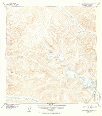
1952 Map of Talkeetna Mountains A-5
USGS Topo · Published 1952About this map
The Talkeetna Mountains define the dramatic verticality of this 1952 Alaskan interior survey, where the drainages of the Kashwitna River and Sheep River carve deep routes through the high terrain. Based on aerial photography from August 1949, the map reveals a landscape governed by water and elevation rather than settlement. Glacial runoff and mountain streams like the North Fork Kashwitna River, Montana Creek, and Sheep Creek are the primary landmarks for navigation. High-altitude triangulation stations, including Vabm 5595 Honey and Vabm 4792 Brownie, serve as the only named markers of human survey activity in this roadless wilderness. This document captures the primitive state of the Matanuska-Susitna region during the early post-war era, documenting the natural drainage patterns before modern access corridors were established.
Find a feature on this map
8 named features on this map. Tap any name to fly to it.
Don’t see what you’re looking for? This feature index may not catch every label — zoom into the map to look around manually.
Map Details
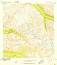
Editions of this 1952 Talkeetna Mountains A-5 Map
2 editions found
Other maps of this area

1949 · Anchorage D-7
USGS Topo · 1:63,360

1949 · Talkeetna Mountains B-6
USGS Topo · 1:63,360

1949 · Talkeetna Mountains A-4
USGS Topo · 1:63,360

1950 · Talkeetna Mountains
USGS Topo · 1:250,000

1950 · Talkeetna Mountains B-5
USGS Topo · 1:63,360

1950 · Talkeetna Mountains B-4
USGS Topo · 1:63,360

1950 · Anchorage D-6
USGS Topo · 1:63,360

1950 · Talkeetna Mountains A-6
USGS Topo · 1:63,360

1950 · Talkeetna Mountains A-5
USGS Topo · 1:63,360

1951 · Anchorage
USGS Topo · 1:250,000