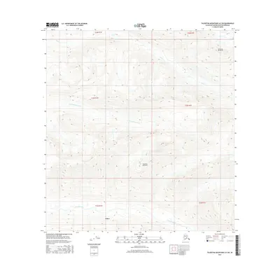
2016 Map of Talkeetna Mountains A-5 SW
USGS Topo · Published 2016About this map
Talkeetna Mountains terrain dominates this landscape in the Matanuska-Susitna Borough, where the high-elevation drainage patterns of the Susitna Valley are clearly defined. The Kashwitna River and the N Fork Kashwitna River carve through the southern half of the sheet, illustrating the complex hydrologic network that feeds into the region's larger river systems. In the southwestern corner, the settlement of Willow marks a transition from the rugged upland slopes toward the lower valley floor. This 2016 survey captures the area at a time when the balance between wild river corridors like Sheep Cr and the growing corridor of the George Parks Highway remained central to local geography. The map provides an intricate look at the township and range boundaries that define Alaskan land management, specifically across t22n r1w and its surrounding sections.
Find a feature on this map
11 named features on this map. Tap any name to fly to it.
Don’t see what you’re looking for? This feature index may not catch every label — zoom into the map to look around manually.
Map Details
Editions of this 2016 Talkeetna Mountains A-5 SW Map
This is the sole edition of this map. No revisions or reprints were ever made.
Other maps of this area
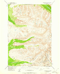
1949 · Anchorage D-7
USGS Topo · 1:63,360

1950 · Talkeetna Mountains
USGS Topo · 1:250,000
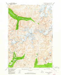
1950 · Anchorage D-6
USGS Topo · 1:63,360
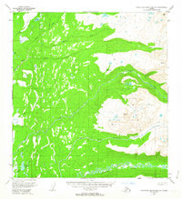
1950 · Talkeetna Mountains A-6
USGS Topo · 1:63,360
1950 · Talkeetna Mountains A-5
USGS Topo · 1:63,360
1951 · Anchorage
USGS Topo · 1:250,000
1951 · Anchorage D-7
USGS Topo · 1:63,360
1952 · Anchorage D-7
USGS Topo · 1:63,360
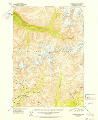
1952 · Anchorage D-6
USGS Topo · 1:63,360
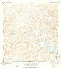
1952 · Talkeetna Mountains A-5
USGS Topo · 1:63,360