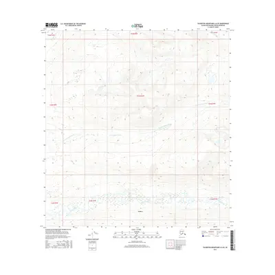
2016 Map of Talkeetna Mountains A-6 SE
USGS Topo · Published 2016About this map
Willow anchors the southern portion of this interior landscape, where the braided channels of the Kashwitna River define the local topography. This 2016 survey illustrates the complex drainage patterns of the Matanuska-Susitna Borough, specifically focusing on the area where the N Fork Kashwitna River and Sheep Creek descend from the high ground. The map reflects the vast public land survey system divisions across townships including t23n r2w and t22n r2w. This area is characterized by significant elevational shifts and extensive hydrographic networks, illustrating how the glacial runoff and river systems dictate the accessibility and settlement patterns of this Alaskan territory. Researchers can observe the exact paths of these waterways before further natural shifts or development, providing a clear baseline of the terrain in the early 21st century.
Find a feature on this map
13 named features on this map. Tap any name to fly to it.
Don’t see what you’re looking for? This feature index may not catch every label — zoom into the map to look around manually.
Map Details
Editions of this 2016 Talkeetna Mountains A-6 SE Map
This is the sole edition of this map. No revisions or reprints were ever made.
Other maps of this area
1949 · Anchorage D-7
USGS Topo · 1:63,360
1949 · Anchorage D-8
USGS Topo · 1:63,360

1950 · Talkeetna Mountains
USGS Topo · 1:250,000
1950 · Talkeetna Mountains A-6
USGS Topo · 1:63,360
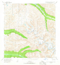
1950 · Talkeetna Mountains A-5
USGS Topo · 1:63,360
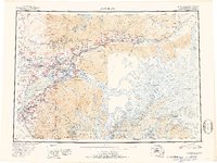
1951 · Anchorage
USGS Topo · 1:250,000
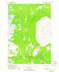
1951 · Anchorage D-8
USGS Topo · 1:63,360
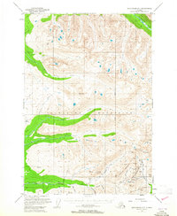
1951 · Anchorage D-7
USGS Topo · 1:63,360
1952 · Anchorage D-7
USGS Topo · 1:63,360
1952 · Anchorage D-8
USGS Topo · 1:63,360