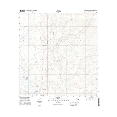
2016 Map of Talkeetna Mountains A-6 SW
USGS Topo · Published 2016About this map
Caswell anchors the southern portion of this landscape, where a dense network of roads reflects the area's development into a residential and recreational hub. The naming conventions for local thoroughfares like Fishhook Avenue, Tackle Avenue, and Caughtabigone Ave hint at the local fishing culture centered around Caswell Lake. This 2016 survey illustrates how human settlement has organized around the natural drainage systems of the Kashwitna River and Goose Creek.
Find a feature on this map
55 named features on this map. Tap any name to fly to it.
Don’t see what you’re looking for? This feature index may not catch every label — zoom into the map to look around manually.
Map Details
Editions of this 2016 Talkeetna Mountains A-6 SW Map
This is the sole edition of this map. No revisions or reprints were ever made.
Other maps of this area
1949 · Tyonek
USGS Topo · 1:250,000
1949 · Anchorage D-8
USGS Topo · 1:63,360

1950 · Talkeetna Mountains
USGS Topo · 1:250,000
1950 · Talkeetna
USGS Topo · 1:250,000
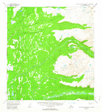
1950 · Talkeetna Mountains A-6
USGS Topo · 1:63,360
1951 · Talkeetna
USGS Topo · 1:250,000
1951 · Anchorage
USGS Topo · 1:250,000
1951 · Tyonek
USGS Topo · 1:250,000
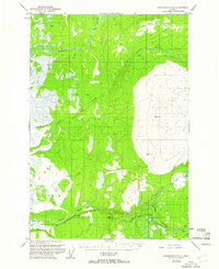
1951 · Anchorage D-8
USGS Topo · 1:63,360
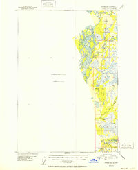
1952 · Tyonek D-1
USGS Topo · 1:63,360