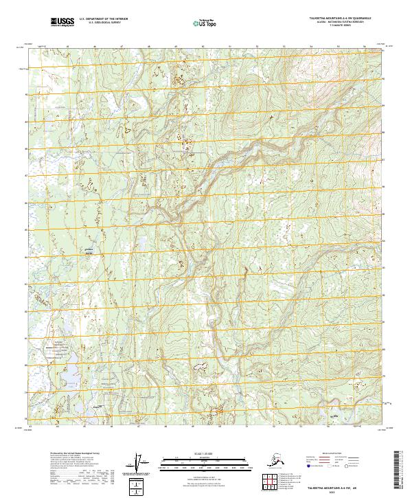
2023 Map of Talkeetna Mountains A-6 SW
USGS Topo · Published 2023About this map
Susitna North and Caswell anchor a landscape defined by an evolving network of residential and recreational access roads east of the Kashwitna River. The map reveals a dense cluster of local thoroughfares with distinctive names like Fishhook Avenue, Caughtabigone Ave, and Tackle Avenue, suggesting the area's strong connection to local angling and outdoor life. These developments are situated amidst the hydrological patterns of the Talkeetna Mountains, where Sheep Creek and Caswell Creek drain toward the larger river systems.
Find a feature on this map
53 named features on this map. Tap any name to fly to it.
Don’t see what you’re looking for? This feature index may not catch every label — zoom into the map to look around manually.
Map Details
Editions of this 2023 Talkeetna Mountains A-6 SW Map
This is the sole edition of this map. No revisions or reprints were ever made.
Other maps of this area

1949 · Tyonek
USGS Topo · 1:250,000

1949 · Anchorage D-8
USGS Topo · 1:63,360

1950 · Talkeetna Mountains
USGS Topo · 1:250,000

1950 · Talkeetna
USGS Topo · 1:250,000

1950 · Talkeetna Mountains A-6
USGS Topo · 1:63,360

1951 · Talkeetna
USGS Topo · 1:250,000

1951 · Anchorage
USGS Topo · 1:250,000

1951 · Tyonek
USGS Topo · 1:250,000

1951 · Anchorage D-8
USGS Topo · 1:63,360

1952 · Tyonek D-1
USGS Topo · 1:63,360