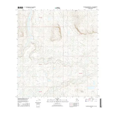
2016 Map of Talkeetna Mountains C-1 NE
USGS Topo · Published 2016About this map
Alphabet Hills rise above a labyrinth of wetlands and watercourses in this remote section of the Matanuska-Susitna Borough. The landscape is defined by the winding course of the Susitna River as it cuts through the northwest, while the Tyone River snakes across the central and eastern portions of the quadrangle. This hydrographic network, which also includes Tyone Creek, creates an intricate pattern of riparian corridors and small lakes. The absence of roads or permanent settlements in this 2016 survey highlights the wilderness character of the region, where the primary organizational structures are the township and range lines of the Public Land Survey System, such as t31n r12e and t11n r10w.
Find a feature on this map
9 named features on this map. Tap any name to fly to it.
Don’t see what you’re looking for? This feature index may not catch every label — zoom into the map to look around manually.
Map Details
Editions of this 2016 Talkeetna Mountains C-1 NE Map
This is the sole edition of this map. No revisions or reprints were ever made.
Other maps of this area

1950 · Talkeetna Mountains
USGS Topo · 1:250,000
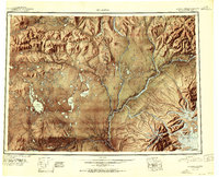
1951 · Gulkana
USGS Topo · 1:250,000
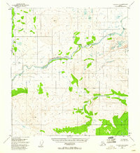
1951 · Gulkana D-6
USGS Topo · 1:63,360
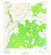
1951 · Talkeetna Mountains C-1
USGS Topo · 1:63,360
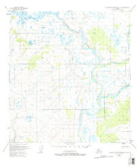
1951 · Talkeetna Mountains D-1
USGS Topo · 1:63,360
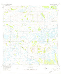
1951 · Gulkana C-6
USGS Topo · 1:63,360
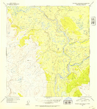
1952 · Talkeetna Mountains D-1
USGS Topo · 1:63,360
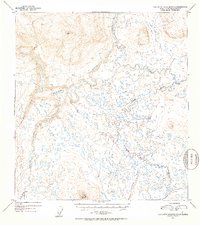
1952 · Talkeetna Mountains C-1
USGS Topo · 1:63,360
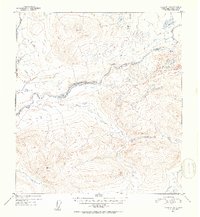
1952 · Gulkana D-6
USGS Topo · 1:63,360
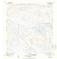
1952 · Gulkana C-6
USGS Topo · 1:63,360