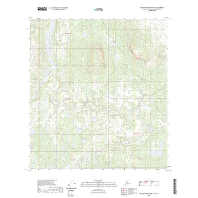
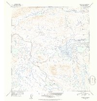
2023 Map of Talkeetna Mountains C-1 NE
USGS Topo · Published 2023About this map
Susitna River and Tyone River anchor this remote landscape in the Matanuska-Susitna Borough, where glacial-fed waterways wind through a complex network of wetlands and tundra. The confluence area near Tyone Creek demonstrates a classic Alaskan drainage pattern, characterized by numerous small lakes and meandering stream channels that shift across the lowland plains. This area remains largely defined by its natural water systems and public land boundaries, such as t30n r12e, with no road infrastructure or permanent settlements indicated. The topographic detail highlights the subtle elevation changes that dictate the flow of the Tyone system into the larger Susitna basin, providing a clear record of the region's wilderness character in the early 21st century.
Find a feature on this map
8 named features on this map. Tap any name to fly to it.
Don’t see what you’re looking for? This feature index may not catch every label — zoom into the map to look around manually.
Map Details
Editions of this 2023 Talkeetna Mountains C-1 NE Map
This is the sole edition of this map. No revisions or reprints were ever made.
Other maps of this area

1950 · Talkeetna Mountains
USGS Topo · 1:250,000

1951 · Gulkana
USGS Topo · 1:250,000

1951 · Gulkana D-6
USGS Topo · 1:63,360

1951 · Talkeetna Mountains C-1
USGS Topo · 1:63,360

1951 · Talkeetna Mountains D-1
USGS Topo · 1:63,360

1951 · Gulkana C-6
USGS Topo · 1:63,360
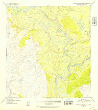
1952 · Talkeetna Mountains D-1
USGS Topo · 1:63,360
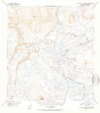
1952 · Talkeetna Mountains C-1
USGS Topo · 1:63,360
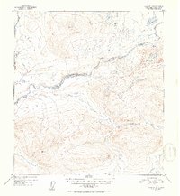
1952 · Gulkana D-6
USGS Topo · 1:63,360
1952 · Gulkana C-6
USGS Topo · 1:63,360